Distance to Lookout, Kentucky

Calculating Your Route
Just a moment while we process your request...
Location Information
-
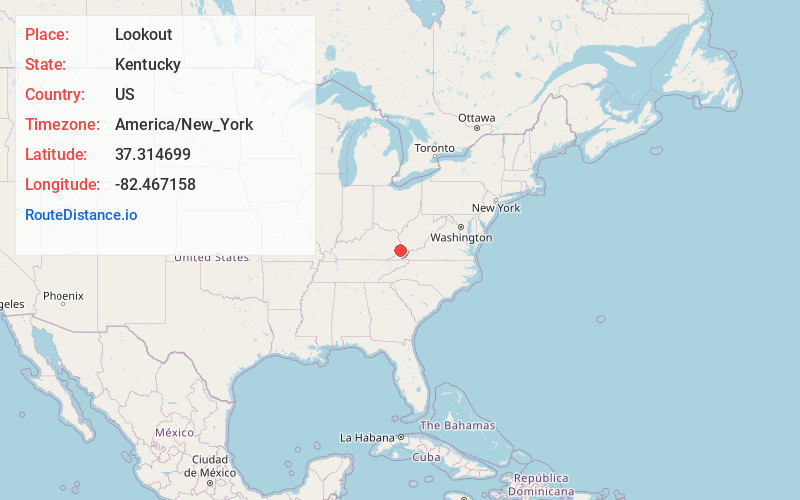
Full AddressLookout, KY 41522
-
Coordinates37.3146986, -82.4671579
-
LocationLookout , Kentucky , US
-
TimezoneAmerica/New_York
-
Current Local Time3:37:49 PM America/New_YorkFriday, June 20, 2025
-
Page Views0
About Lookout
Lookout is an unincorporated community and coal town located in Pike County, Kentucky, United States. It was also known as the Marrowbone Coal Mine. Its post office closed in January 2011.
Nearby Places
Found 10 places within 50 miles

Big Branch
0.7 mi
1.1 km
Big Branch, KY 41522
Get directions
Rockhouse
1.2 mi
1.9 km
Rockhouse, KY 41522
Get directions
Edgewater
1.8 mi
2.9 km
Edgewater, KY 41534
Get directions
Hellier
1.9 mi
3.1 km
Hellier, KY 41534
Get directions
Venters
2.0 mi
3.2 km
Venters, KY 41522
Get directions
Wolfpit
3.6 mi
5.8 km
Wolfpit, KY 41522
Get directions
Ashcamp
3.8 mi
6.1 km
Ashcamp, KY 41522
Get directions
Greasy Creek
4.3 mi
6.9 km
Greasy Creek, KY 41562
Get directions

Draffin
4.3 mi
6.9 km
Draffin, KY 41522
Get directions
Belcher
5.5 mi
8.9 km
Belcher, KY 41522
Get directions
Location Links
Local Weather
Weather Information
Coming soon!
Location Map
Static map view of Lookout, Kentucky
Browse Places by Distance
Places within specific distances from Lookout
Short Distances
Long Distances
Click any distance to see all places within that range from Lookout. Distances shown in miles (1 mile ≈ 1.61 kilometers).