Distance to Loope, California

Calculating Your Route
Just a moment while we process your request...
Location Information
-
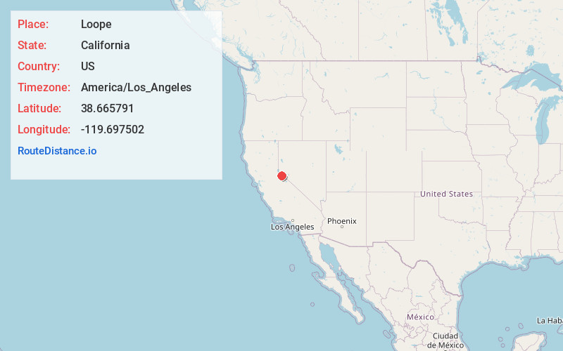
Full AddressLoope, CA 96120
-
Coordinates38.665791, -119.697502
-
LocationLoope , California , US
-
TimezoneAmerica/Los_Angeles
-
Current Local Time4:32:12 PM America/Los_AngelesWednesday, July 2, 2025
-
Page Views0
About Loope
Loope is an unincorporated community in Alpine County, California. It is located on Monitor Creek, at an elevation of 6188 feet.
A post office operated at Monitor from 1863 to 1888. The Loope post office operated from 1898 to 1908.

Nearby Places
Found 10 places within 50 miles

Markleeville
4.8 mi
7.7 km
Markleeville, CA 96120
Get directions

Topaz Lake
8.5 mi
13.7 km
Topaz Lake, NV 89410
Get directions

Alpine Village
10.1 mi
16.3 km
Alpine Village, CA 96120
Get directions

Topaz
10.2 mi
16.4 km
Topaz, CA
Get directions

Paynesville
10.9 mi
17.5 km
Paynesville, CA 96120
Get directions

Mesa Vista
11.1 mi
17.9 km
Mesa Vista, CA 96120
Get directions
Topaz Ranch Estates
11.6 mi
18.7 km
Topaz Ranch Estates, NV 89444
Get directions
Fredericksburg
12.3 mi
19.8 km
Fredericksburg, CA 96120
Get directions

Coleville
12.4 mi
20.0 km
Coleville, CA 96107
Get directions
Carter Springs
13.8 mi
22.2 km
Carter Springs, NV 89410
Get directions
Location Links
Local Weather
Weather Information
Coming soon!
Location Map
Static map view of Loope, California
Browse Places by Distance
Places within specific distances from Loope
Short Distances
Long Distances
Click any distance to see all places within that range from Loope. Distances shown in miles (1 mile ≈ 1.61 kilometers).