Distance to Los Chavez, New Mexico

Calculating Your Route
Just a moment while we process your request...
Location Information
-
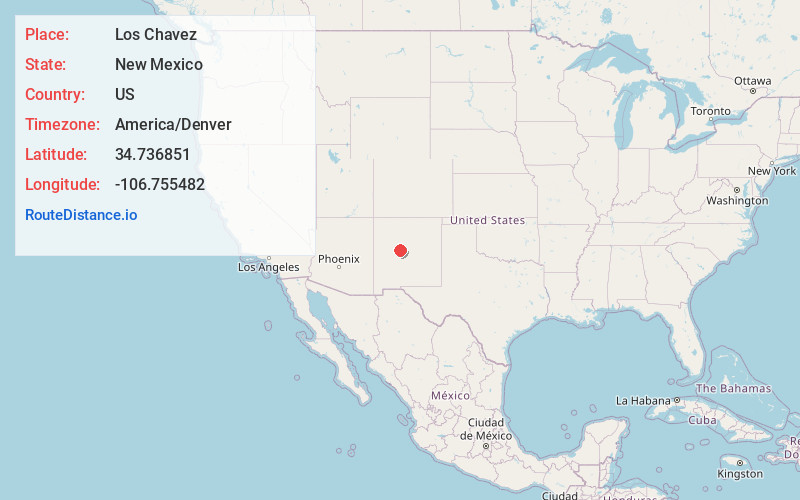
Full AddressLos Chavez, NM
-
Coordinates34.736851, -106.7554819
-
LocationLos Chavez , New Mexico , US
-
TimezoneAmerica/Denver
-
Current Local Time10:48:45 AM America/DenverThursday, June 5, 2025
-
Page Views0
About Los Chavez
Los Chavez is a census-designated place in Valencia County, New Mexico. The population was 5,033 at the time of the 2000 census. It is part of the Albuquerque Metropolitan Statistical Area.
Nearby Places
Found 10 places within 50 miles

Los Lunas
5.0 mi
8.0 km
Los Lunas, NM 87031
Get directions

Rio Communities
6.6 mi
10.6 km
Rio Communities, NM 87002
Get directions

South Valley
19.4 mi
31.2 km
South Valley, NM
Get directions

Albuquerque
24.7 mi
39.8 km
Albuquerque, NM
Get directions

Los Ranchos De Albuquerque
30.1 mi
48.4 km
Los Ranchos De Albuquerque, NM
Get directions

North Valley
32.2 mi
51.8 km
North Valley, NM
Get directions

Rio Rancho
34.7 mi
55.8 km
Rio Rancho, NM
Get directions

Corrales
35.6 mi
57.3 km
Corrales, NM
Get directions

Edgewood
39.0 mi
62.8 km
Edgewood, NM
Get directions

Bernalillo
40.6 mi
65.3 km
Bernalillo, NM
Get directions
Location Links
Local Weather
Weather Information
Coming soon!
Location Map
Static map view of Los Chavez, New Mexico
Browse Places by Distance
Places within specific distances from Los Chavez
Short Distances
Long Distances
Click any distance to see all places within that range from Los Chavez. Distances shown in miles (1 mile ≈ 1.61 kilometers).