Distance to Los Indios, Texas

Calculating Your Route
Just a moment while we process your request...
Location Information
-
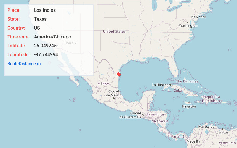
Full AddressLos Indios, TX 78586
-
Coordinates26.0492445, -97.7449935
-
LocationLos Indios , Texas , US
-
TimezoneAmerica/Chicago
-
Current Local Time6:56:15 PM America/ChicagoSunday, June 8, 2025
-
Page Views0
About Los Indios
Los Indios is a U.S. border town in Cameron County, Texas. The population was 1,008 at the 2020 census. It is included as part of the Brownsville–Harlingen–Raymondville and the Matamoros–Brownsville metropolitan areas. The Free Trade International Bridge connects Los Indios with Matamoros, Tamaulipas.


Nearby Places
Found 10 places within 50 miles

La Paloma
4.8 mi
7.7 km
La Paloma, TX 78586
Get directions
Encantada-Ranchito El Calaboz
7.3 mi
11.7 km
Encantada-Ranchito El Calaboz, TX 78586
Get directions
Rice Tracts Colonia
7.4 mi
11.9 km
Rice Tracts Colonia, Rice Tracts, TX 78586
Get directions

La Feria
9.0 mi
14.5 km
La Feria, TX 78559
Get directions

San Benito
9.1 mi
14.6 km
San Benito, TX 78586
Get directions

Harlingen
10.2 mi
16.4 km
Harlingen, TX
Get directions
Palm Valley
10.6 mi
17.1 km
Palm Valley, TX 78552
Get directions

Rancho Viejo
11.7 mi
18.8 km
Rancho Viejo, TX
Get directions
Primera
12.2 mi
19.6 km
Primera, TX 78552
Get directions

Mercedes
12.6 mi
20.3 km
Mercedes, TX
Get directions
Location Links
Local Weather
Weather Information
Coming soon!
Location Map
Static map view of Los Indios, Texas
Browse Places by Distance
Places within specific distances from Los Indios
Short Distances
Long Distances
Click any distance to see all places within that range from Los Indios. Distances shown in miles (1 mile ≈ 1.61 kilometers).