Distance to Los Ranchos, California

Calculating Your Route
Just a moment while we process your request...
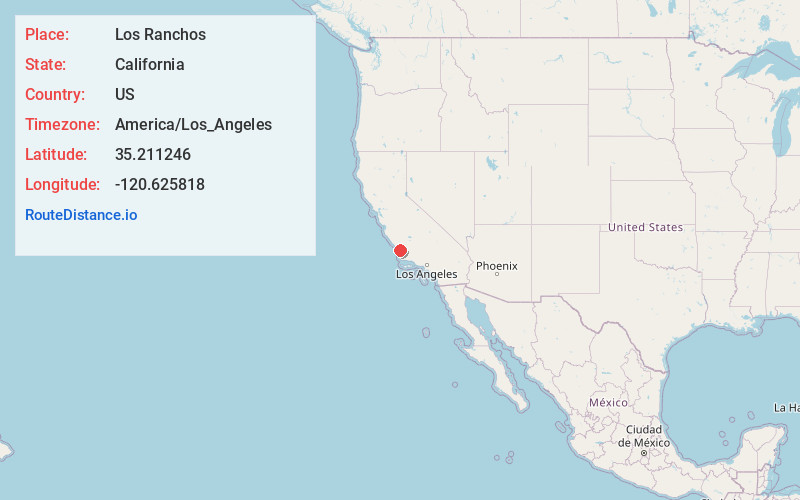
Location Information
-
Full AddressLos Ranchos, CA 93401
-
Coordinates35.2112464, -120.6258183
-
LocationLos Ranchos , California , US
-
TimezoneAmerica/Los_Angeles
-
Current Local Time4:12:24 PM America/Los_AngelesMonday, June 30, 2025
-
Page Views0
About Los Ranchos
Los Ranchos is a census-designated place in San Luis Obispo County, California. Los Ranchos sits at an elevation of 256 feet. The 2010 United States census reported Los Ranchos's population was 1,477.
Los Ranchos is an area of residential subdivisions surrounding the San Luis Obispo Country Club.
Nearby Places
Found 10 places within 50 miles

Pismo Beach
4.8 mi
7.7 km
Pismo Beach, CA
Get directions

San Luis Obispo
5.3 mi
8.5 km
San Luis Obispo, CA
Get directions

Grover Beach
6.2 mi
10.0 km
Grover Beach, CA
Get directions

Avila Beach
6.4 mi
10.3 km
Avila Beach, CA
Get directions

Arroyo Grande
6.7 mi
10.8 km
Arroyo Grande, CA 93420
Get directions

Oceano
7.8 mi
12.6 km
Oceano, CA
Get directions

Baywood-Los Osos
13.7 mi
22.0 km
Baywood-Los Osos, CA
Get directions

Nipomo
14.4 mi
23.2 km
Nipomo, CA
Get directions

Baywood Park Beach
14.8 mi
23.8 km
Baywood Park Beach, Baywood-Los Osos, CA 93402
Get directions

Morro Bay
16.6 mi
26.7 km
Morro Bay, CA
Get directions
Location Links
Local Weather
Weather Information
Coming soon!
Location Map
Static map view of Los Ranchos, California
Browse Places by Distance
Places within specific distances from Los Ranchos
Short Distances
Long Distances
Click any distance to see all places within that range from Los Ranchos. Distances shown in miles (1 mile ≈ 1.61 kilometers).