Distance to Lost Cove, North Carolina

Calculating Your Route
Just a moment while we process your request...
Location Information
-
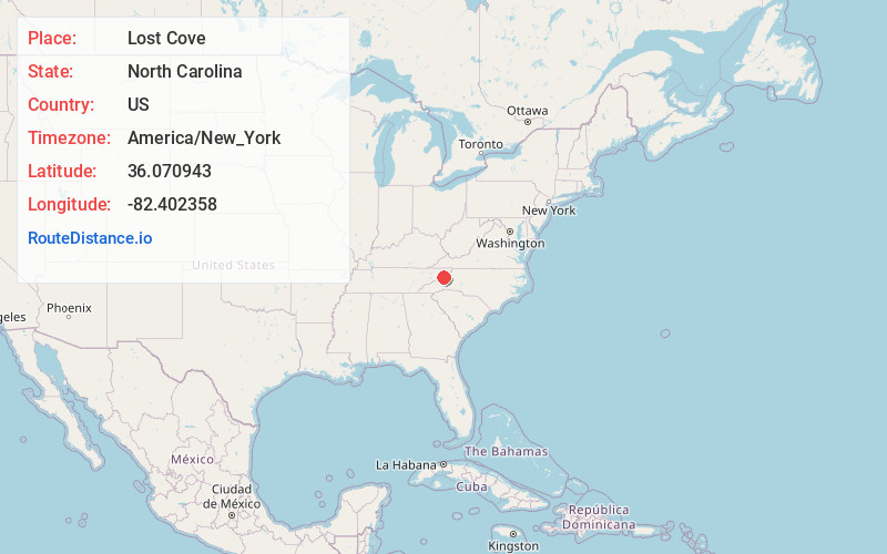
Full AddressLost Cove, NC 28714
-
Coordinates36.0709427, -82.4023582
-
LocationLost Cove , North Carolina , US
-
TimezoneAmerica/New_York
-
Current Local Time1:27:17 AM America/New_YorkMonday, June 30, 2025
-
Page Views0
About Lost Cove
Lost Cove is a ghost town in Yancey County, North Carolina. The town was first settled by Morgan Bailey shortly before the Civil War. The town is located in the Poplar Gorge above the Nolichucky River on the Tennessee-North Carolina border.

Nearby Places
Found 10 places within 50 miles

Whiteoak Flats
3.5 mi
5.6 km
Whiteoak Flats, NC 28740
Get directions
Banner Hill
3.7 mi
6.0 km
Banner Hill, TN 37650
Get directions
Lillydale
3.9 mi
6.3 km
Lillydale, TN 37650
Get directions
Sioux
4.2 mi
6.8 km
Sioux, NC 28714
Get directions

Erwin
5.2 mi
8.4 km
Erwin, TN 37650
Get directions
Whitson
5.7 mi
9.2 km
Whitson, NC 28740
Get directions
Upper Poplar
6.0 mi
9.7 km
Upper Poplar, NC 28740
Get directions
Pleasant Garden
6.7 mi
10.8 km
Pleasant Garden, TN 37692
Get directions
Webb
7.0 mi
11.3 km
Webb, NC 28705
Get directions
Hawk Branch
7.6 mi
12.2 km
Hawk Branch, NC 28714
Get directions
Location Links
Local Weather
Weather Information
Coming soon!
Location Map
Static map view of Lost Cove, North Carolina
Browse Places by Distance
Places within specific distances from Lost Cove
Short Distances
Long Distances
Click any distance to see all places within that range from Lost Cove. Distances shown in miles (1 mile ≈ 1.61 kilometers).