Distance to Loveland, Ohio

Calculating Your Route
Just a moment while we process your request...
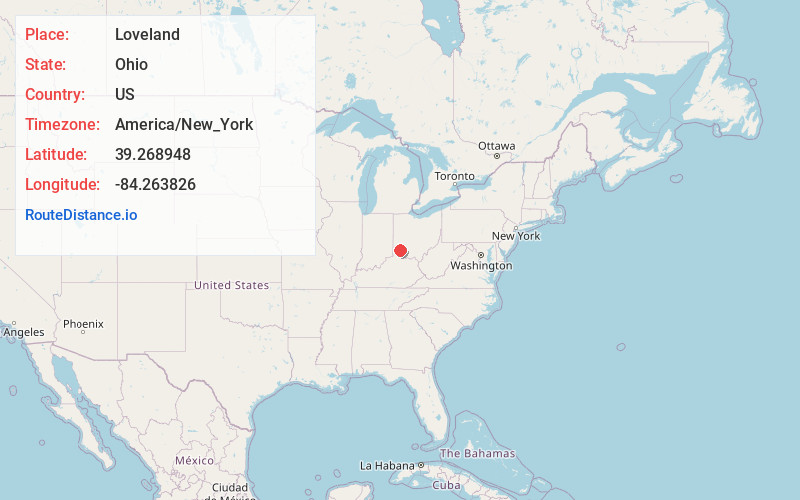
Location Information
-
Full AddressLoveland, OH 45140
-
Coordinates39.2689476, -84.263826
-
LocationLoveland , Ohio , US
-
TimezoneAmerica/New_York
-
Current Local Time10:41:15 PM America/New_YorkFriday, May 30, 2025
-
Website
-
Page Views0
About Loveland
Loveland is a city in Hamilton, Clermont, and Warren counties in the southwestern part of the U.S. state of Ohio. The population was 13,307 at the 2020 census.


Nearby Places
Found 10 places within 50 miles

Blue Ash
6.6 mi
10.6 km
Blue Ash, OH
Get directions

Mason
6.8 mi
10.9 km
Mason, OH
Get directions

Sharonville
8.0 mi
12.9 km
Sharonville, OH
Get directions

Lebanon
11.9 mi
19.2 km
Lebanon, OH 45036
Get directions

Norwood
12.5 mi
20.1 km
Norwood, OH
Get directions

Forest Park
12.9 mi
20.8 km
Forest Park, OH
Get directions

Monroe
13.2 mi
21.2 km
Monroe, OH
Get directions

Finneytown
14.0 mi
22.5 km
Finneytown, OH
Get directions

Fort Thomas
16.6 mi
26.7 km
Fort Thomas, KY
Get directions

Fairfield
16.7 mi
26.9 km
Fairfield, OH
Get directions
Location Links
Local Weather
Weather Information
Coming soon!
Location Map
Static map view of Loveland, Ohio
Browse Places by Distance
Places within specific distances from Loveland
Short Distances
Long Distances
Click any distance to see all places within that range from Loveland. Distances shown in miles (1 mile ≈ 1.61 kilometers).