Distance to Lovell, Oklahoma

Calculating Your Route
Just a moment while we process your request...
Location Information
-
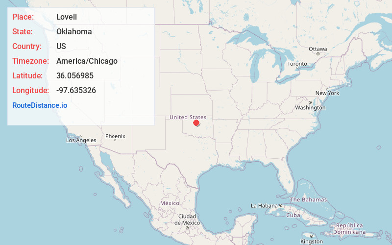
Full AddressLovell, OK 73028
-
Coordinates36.0569846, -97.6353263
-
LocationLovell , Oklahoma , US
-
TimezoneAmerica/Chicago
-
Current Local Time11:10:25 AM America/ChicagoTuesday, June 24, 2025
-
Page Views0
About Lovell
Lovell is a census-designated place in Logan County, Oklahoma, United States. It was first determined by the United States Census Bureau prior to the 2020 census. It is named after the village of Lovell, which is incorporated in its boundaries.
The CDP is in northwestern Logan County, 3 miles west of State Highway 74.
Nearby Places
Found 10 places within 50 miles

Marshall
6.7 mi
10.8 km
Marshall, OK 73056
Get directions

Crescent
7.6 mi
12.2 km
Crescent, OK 73028
Get directions

Cimarron City
11.7 mi
18.8 km
Cimarron City, OK 73028
Get directions

Mulhall
12.8 mi
20.6 km
Mulhall, OK
Get directions

Cedar Valley
13.9 mi
22.4 km
Cedar Valley, OK 73044
Get directions

Hennessey
15.1 mi
24.3 km
Hennessey, OK 73742
Get directions

Orlando
15.7 mi
25.3 km
Orlando, OK 73073
Get directions

Dover
16.3 mi
26.2 km
Dover, OK 73734
Get directions

Guthrie
17.0 mi
27.4 km
Guthrie, OK
Get directions

Bison
17.2 mi
27.7 km
Bison, OK 73720
Get directions
Location Links
Local Weather
Weather Information
Coming soon!
Location Map
Static map view of Lovell, Oklahoma
Browse Places by Distance
Places within specific distances from Lovell
Short Distances
Long Distances
Click any distance to see all places within that range from Lovell. Distances shown in miles (1 mile ≈ 1.61 kilometers).