Distance to Lovetown, Tennessee

Calculating Your Route
Just a moment while we process your request...
Location Information
-
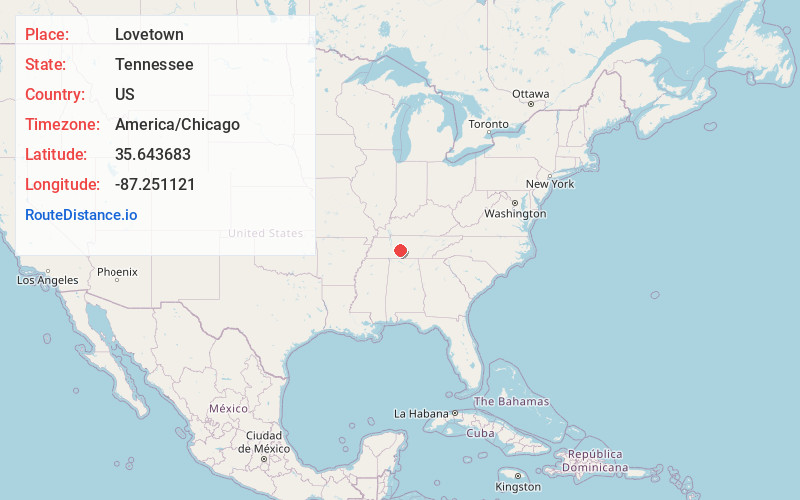
Full AddressLovetown, TN 38474
-
Coordinates35.6436829, -87.2511214
-
LocationTennessee , US
-
TimezoneAmerica/Chicago
-
Current Local Time7:08:51 PM America/ChicagoSunday, June 1, 2025
-
Page Views0
Nearby Places
Found 10 places within 50 miles

Isom
3.1 mi
5.0 km
Isom, TN 38461
Get directions
Kettle Mills
3.1 mi
5.0 km
Kettle Mills, TN 38461
Get directions

Williamsport
3.5 mi
5.6 km
Williamsport, TN 38487
Get directions
Arkland
3.6 mi
5.8 km
Arkland, TN 38487
Get directions
Sawdust
3.8 mi
6.1 km
Sawdust, TN 38401
Get directions

Hampshire
4.0 mi
6.4 km
Hampshire, TN 38461
Get directions
Mt Nebo
4.8 mi
7.7 km
Mt Nebo, TN 38401
Get directions
Gant
4.9 mi
7.9 km
Gant, TN 38401
Get directions
Armour Village
5.3 mi
8.5 km
Armour Village, TN 38401
Get directions
Chartersville
5.3 mi
8.5 km
Chartersville, TN 38487
Get directions
Location Links
Local Weather
Weather Information
Coming soon!
Location Map
Static map view of Lovetown, Tennessee
Browse Places by Distance
Places within specific distances from Lovetown
Short Distances
Long Distances
Click any distance to see all places within that range from Lovetown. Distances shown in miles (1 mile ≈ 1.61 kilometers).