Distance to Lovett, Georgia

Calculating Your Route
Just a moment while we process your request...
Location Information
-
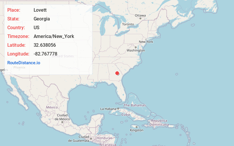
Full AddressLovett, GA 31027
-
Coordinates32.638056, -82.767778
-
LocationLovett , Georgia , US
-
TimezoneAmerica/New_York
-
Current Local Time5:58:42 AM America/New_YorkWednesday, June 18, 2025
-
Page Views0
About Lovett
Lovett is an unincorporated community in eastern Laurens County, Georgia, United States. It is part of the Dublin Micropolitan Statistical Area.
Nearby Places
Found 10 places within 50 miles

Spann
2.2 mi
3.5 km
Spann, GA 31096
Get directions

Wrightsville
6.9 mi
11.1 km
Wrightsville, GA 31096
Get directions
Tuckers Crossroad
7.1 mi
11.4 km
Tuckers Crossroad, GA 31027
Get directions
Scott
8.4 mi
13.5 km
Scott, GA 31002
Get directions

East Dublin
8.7 mi
14.0 km
East Dublin, GA 31027
Get directions
Donovan
9.7 mi
15.6 km
Donovan, GA 31096
Get directions

Dublin
10.4 mi
16.7 km
Dublin, GA 31021
Get directions

Adrian
12.8 mi
20.6 km
Adrian, GA 31002
Get directions
Harrison
13.2 mi
21.2 km
Harrison, GA 31035
Get directions
Orland
15.2 mi
24.5 km
Orland, GA 30457
Get directions
Location Links
Local Weather
Weather Information
Coming soon!
Location Map
Static map view of Lovett, Georgia
Browse Places by Distance
Places within specific distances from Lovett
Short Distances
Long Distances
Click any distance to see all places within that range from Lovett. Distances shown in miles (1 mile ≈ 1.61 kilometers).