Distance to Low Gap, West Virginia

Calculating Your Route
Just a moment while we process your request...
Location Information
-
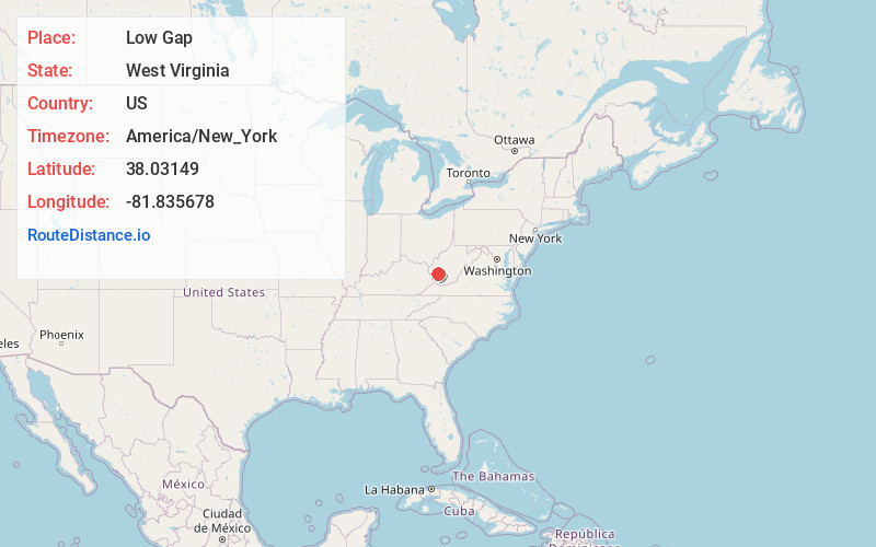
Full AddressLow Gap, WV 25053
-
Coordinates38.0314904, -81.835678
-
LocationWest Virginia , US
-
TimezoneAmerica/New_York
-
Current Local Time12:53:43 AM America/New_YorkMonday, June 30, 2025
-
Page Views0
About Low Gap
Low Gap is an unincorporated community in Boone County, West Virginia, United States.
The community was named for a low mountain pass near the original town site.
Nearby Places
Found 10 places within 50 miles

Powell Creek
1.4 mi
2.3 km
Powell Creek, WV 25053
Get directions

Madison
2.6 mi
4.2 km
Madison, WV 25130
Get directions
Greenview
2.6 mi
4.2 km
Greenview, WV
Get directions

Uneeda
3.0 mi
4.8 km
Uneeda, WV 25130
Get directions
Ramage
3.3 mi
5.3 km
Ramage, WV 25053
Get directions

Danville
3.4 mi
5.5 km
Danville, WV
Get directions
Secoal
3.9 mi
6.3 km
Secoal, WV 25053
Get directions
Jeffrey
4.2 mi
6.8 km
Jeffrey, WV 25053
Get directions
Hewett
4.9 mi
7.9 km
Hewett, WV 25108
Get directions
Isom
6.4 mi
10.3 km
Isom, WV 25121
Get directions
Location Links
Local Weather
Weather Information
Coming soon!
Location Map
Static map view of Low Gap, West Virginia
Browse Places by Distance
Places within specific distances from Low Gap
Short Distances
Long Distances
Click any distance to see all places within that range from Low Gap. Distances shown in miles (1 mile ≈ 1.61 kilometers).