Distance to Low Moor, Iowa

Calculating Your Route
Just a moment while we process your request...
Location Information
-
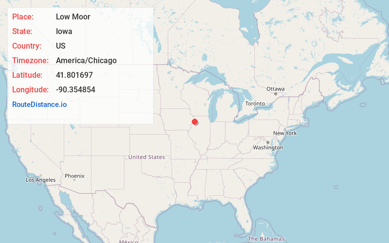
Full AddressLow Moor, IA
-
Coordinates41.8016967, -90.3548535
-
LocationLow Moor , Iowa , US
-
TimezoneAmerica/Chicago
-
Current Local Time9:22:34 PM America/ChicagoThursday, June 19, 2025
-
Page Views0
About Low Moor
Low Moor is a city in Clinton County, Iowa, United States. The population was 250 at the time of the 2020 census.
Nearby Places
Found 10 places within 50 miles

Camanche
5.4 mi
8.7 km
Camanche, IA
Get directions

McCausland
6.0 mi
9.7 km
McCausland, IA
Get directions

Albany
7.0 mi
11.3 km
Albany, IL 61230
Get directions

Cordova
8.6 mi
13.8 km
Cordova, IL 61242
Get directions

Princeton
8.8 mi
14.2 km
Princeton, IA
Get directions

Clinton
9.0 mi
14.5 km
Clinton, IA
Get directions

DeWitt
9.6 mi
15.4 km
DeWitt, IA 52742
Get directions

Fulton
11.0 mi
17.7 km
Fulton, IL 61252
Get directions

Goose Lake
11.5 mi
18.5 km
Goose Lake, IA 52750
Get directions

Park View
12.3 mi
19.8 km
Park View, IA
Get directions
Location Links
Local Weather
Weather Information
Coming soon!
Location Map
Static map view of Low Moor, Iowa
Browse Places by Distance
Places within specific distances from Low Moor
Short Distances
Long Distances
Click any distance to see all places within that range from Low Moor. Distances shown in miles (1 mile ≈ 1.61 kilometers).