Distance to Lowden, Arkansas

Calculating Your Route
Just a moment while we process your request...
Location Information
-
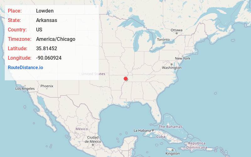
Full AddressLowden, AR 72315
-
Coordinates35.8145195, -90.0609243
-
LocationArkansas , US
-
TimezoneAmerica/Chicago
-
Current Local Time12:08:00 PM America/ChicagoFriday, June 20, 2025
-
Page Views0
Nearby Places
Found 10 places within 50 miles

Hightower
2.5 mi
4.0 km
Hightower, AR 72315
Get directions
McFerrin
2.7 mi
4.3 km
McFerrin, AR 72315
Get directions
Dell
3.0 mi
4.8 km
Dell, AR
Get directions
Roseland
3.2 mi
5.1 km
Roseland, AR 72442
Get directions
Pettyville
3.9 mi
6.3 km
Pettyville, AR 72442
Get directions
Cole Ridge
4.0 mi
6.4 km
Cole Ridge, AR 72315
Get directions
Victoria
4.0 mi
6.4 km
Victoria, AR 72370
Get directions
Dearman
5.0 mi
8.0 km
Dearman, AR 72315
Get directions
Big Lake
6.0 mi
9.7 km
Big Lake, Arkansas 72442
Get directions
Burdette
6.8 mi
10.9 km
Burdette, AR
Get directions
Location Links
Local Weather
Weather Information
Coming soon!
Location Map
Static map view of Lowden, Arkansas
Browse Places by Distance
Places within specific distances from Lowden
Short Distances
Long Distances
Click any distance to see all places within that range from Lowden. Distances shown in miles (1 mile ≈ 1.61 kilometers).