Distance to Lowell, Illinois

Calculating Your Route
Just a moment while we process your request...
Location Information
-
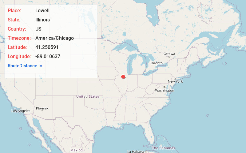
Full AddressLowell, IL 61370
-
Coordinates41.2505908, -89.0106366
-
LocationLowell , Illinois , US
-
TimezoneAmerica/Chicago
-
Current Local Time12:08:30 PM America/ChicagoSaturday, June 28, 2025
-
Page Views0
About Lowell
Lowell is an unincorporated community in LaSalle County, Illinois, United States. Lowell is located on Illinois Route 178, 4 miles southeast of Oglesby. The town was laid out around 1830 by William Seeley.
Nearby Places
Found 10 places within 50 miles

Tonica
3.8 mi
6.1 km
Tonica, IL 61370
Get directions

Oglesby
4.0 mi
6.4 km
Oglesby, IL 61348
Get directions
Leonore
4.5 mi
7.2 km
Leonore, IL
Get directions

Cedar Point
6.0 mi
9.7 km
Cedar Point, IL
Get directions

North Utica
6.3 mi
10.1 km
North Utica, IL
Get directions
Milla
7.7 mi
12.4 km
Milla, Richland Township, IL 61364
Get directions

La Salle
7.9 mi
12.7 km
La Salle, IL
Get directions
Lostant
7.9 mi
12.7 km
Lostant, IL 61334
Get directions

Peru
8.1 mi
13.0 km
Peru, IL
Get directions

Standard
8.9 mi
14.3 km
Standard, IL
Get directions
Location Links
Local Weather
Weather Information
Coming soon!
Location Map
Static map view of Lowell, Illinois
Browse Places by Distance
Places within specific distances from Lowell
Short Distances
Long Distances
Click any distance to see all places within that range from Lowell. Distances shown in miles (1 mile ≈ 1.61 kilometers).