Distance to Lower Allen Township, Pennsylvania

Calculating Your Route
Just a moment while we process your request...
Location Information
-
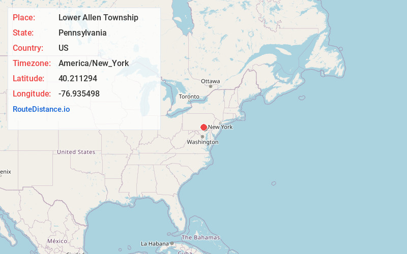
Full AddressLower Allen Township, PA
-
Coordinates40.2112939, -76.9354979
-
LocationLower Allen Township , Pennsylvania , US
-
TimezoneAmerica/New_York
-
Current Local Time6:07:36 PM America/New_YorkSaturday, June 14, 2025
-
Page Views0
About Lower Allen Township
Lower Allen Township is a township in Cumberland County, Pennsylvania, United States. The population was 17,980 at the 2010 census.
The township has State Correctional Institution – Camp Hill, and it formerly had the headquarters of the Pennsylvania Department of Corrections.
Nearby Places
Found 10 places within 50 miles

Rossmoyne Manor
0.8 mi
1.3 km
Rossmoyne Manor, Lower Allen Township, PA 17011
Get directions
Rossmoyne
1.1 mi
1.8 km
Rossmoyne, Lower Allen Township, PA 17055
Get directions
Shiremanstown
1.3 mi
2.1 km
Shiremanstown, PA 17011
Get directions
Howell
1.8 mi
2.9 km
Howell, Hampden Township, PA 17050
Get directions
Eberlys Mill
1.9 mi
3.1 km
Eberlys Mill, Lower Allen, PA 17011
Get directions
Lower Allen
2.1 mi
3.4 km
Lower Allen, PA
Get directions

Camp Hill
2.1 mi
3.4 km
Camp Hill, PA 17011
Get directions
Windsor Park
2.2 mi
3.5 km
Windsor Park, PA 17055
Get directions
Winding Heights
2.3 mi
3.7 km
Winding Heights, Upper Allen Township, PA 17055
Get directions
Allenview
2.9 mi
4.7 km
Allenview, PA 17055
Get directions
Location Links
Local Weather
Weather Information
Coming soon!
Location Map
Static map view of Lower Allen Township, Pennsylvania
Browse Places by Distance
Places within specific distances from Lower Allen Township
Short Distances
Long Distances
Click any distance to see all places within that range from Lower Allen Township. Distances shown in miles (1 mile ≈ 1.61 kilometers).