Distance to Lower Brule, South Dakota

Calculating Your Route
Just a moment while we process your request...
Location Information
-
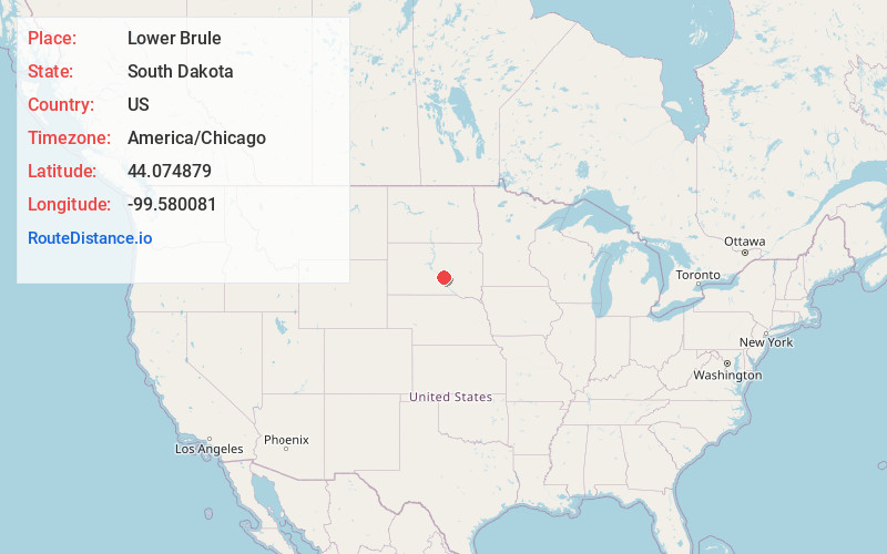
Full AddressLower Brule, SD 57548
-
Coordinates44.0748794, -99.5800809
-
LocationLower Brule , South Dakota , US
-
TimezoneAmerica/Chicago
-
Current Local Time1:39:45 AM America/ChicagoWednesday, June 4, 2025
-
Page Views0
About Lower Brule
Lower Brule is a census-designated place in Lyman County, South Dakota, United States. The population was 703 at the 2020 census. The community is located within the Lower Brule Indian Reservation, from which it takes its name.


Nearby Places
Found 5 places within 50 miles

Fort Thompson
7.1 mi
11.4 km
Fort Thompson, SD
Get directions

Chamberlain
22.1 mi
35.6 km
Chamberlain, SD 57325
Get directions

Miller
42.4 mi
68.2 km
Miller, SD 57362
Get directions

Pierre
43.3 mi
69.7 km
Pierre, SD 57501
Get directions

Fort Pierre
43.8 mi
70.5 km
Fort Pierre, SD 57532
Get directions
Location Links
Local Weather
Weather Information
Coming soon!
Location Map
Static map view of Lower Brule, South Dakota
Browse Places by Distance
Places within specific distances from Lower Brule
Short Distances
Long Distances
Click any distance to see all places within that range from Lower Brule. Distances shown in miles (1 mile ≈ 1.61 kilometers).