Distance to Lower Buffalo, Kentucky

Calculating Your Route
Just a moment while we process your request...
Location Information
-
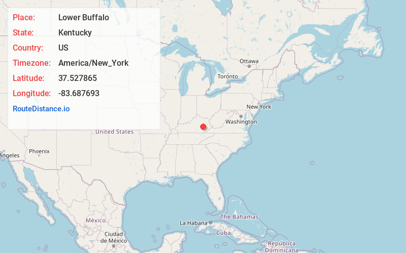
Full AddressLower Buffalo, KY 41311
-
Coordinates37.5278651, -83.6876925
-
LocationKentucky , US
-
TimezoneAmerica/New_York
-
Current Local Time8:16:30 PM America/New_YorkTuesday, June 3, 2025
-
Page Views0
About Lower Buffalo
Lower Buffalo is an unincorporated community in Lee County, Kentucky, United States.
Nearby Places
Found 10 places within 50 miles

Stay
2.3 mi
3.7 km
Stay, KY 41311
Get directions
Congleton
2.3 mi
3.7 km
Congleton, KY 41311
Get directions
Pebworth
2.9 mi
4.7 km
Pebworth, KY 41311
Get directions

Beattyville
3.2 mi
5.1 km
Beattyville, KY 41311
Get directions
White Ash
3.3 mi
5.3 km
White Ash, KY 41311
Get directions

Booneville
3.6 mi
5.8 km
Booneville, KY
Get directions
Belle Point
4.1 mi
6.6 km
Belle Point, KY 41311
Get directions
Ida May
4.3 mi
6.9 km
Ida May, KY 41311
Get directions
Lone
4.6 mi
7.4 km
Lone, KY 41311
Get directions
Chestnut Gap
5.0 mi
8.0 km
Chestnut Gap, KY 41364
Get directions
Location Links
Local Weather
Weather Information
Coming soon!
Location Map
Static map view of Lower Buffalo, Kentucky
Browse Places by Distance
Places within specific distances from Lower Buffalo
Short Distances
Long Distances
Click any distance to see all places within that range from Lower Buffalo. Distances shown in miles (1 mile ≈ 1.61 kilometers).