Distance to Lower Elochoman, Washington

Calculating Your Route
Just a moment while we process your request...
Location Information
-
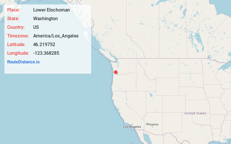
Full AddressLower Elochoman, WA 98612
-
Coordinates46.2197521, -123.3682852
-
LocationLower Elochoman , Washington , US
-
TimezoneAmerica/Los_Angeles
-
Current Local Time6:10:23 PM America/Los_AngelesTuesday, June 24, 2025
-
Page Views0
About Lower Elochoman
Lower Elochoman is a census-designated place in Wahkiakum County, Washington, United States. The population was 185 at the 2010 census.
Nearby Places
Found 10 places within 50 miles

Cathlamet
1.3 mi
2.1 km
Cathlamet, WA 98612
Get directions

East Cathlamet
1.6 mi
2.6 km
East Cathlamet, WA 98612
Get directions

Puget Island Range
2.7 mi
4.3 km
Puget Island Range, Washington 98612
Get directions

Knappa
10.6 mi
17.1 km
Knappa, OR 97103
Get directions

Clatskanie
11.2 mi
18.0 km
Clatskanie, OR 97016
Get directions

Svensen
14.3 mi
23.0 km
Svensen, OR 97103
Get directions
Longview Heights
19.9 mi
32.0 km
Longview Heights, WA 98632
Get directions

Longview
21.3 mi
34.3 km
Longview, WA
Get directions
Rocky Point
22.2 mi
35.7 km
Rocky Point, WA 98626
Get directions

Astoria
22.2 mi
35.7 km
Astoria, OR 97103
Get directions
Location Links
Local Weather
Weather Information
Coming soon!
Location Map
Static map view of Lower Elochoman, Washington
Browse Places by Distance
Places within specific distances from Lower Elochoman
Short Distances
Long Distances
Click any distance to see all places within that range from Lower Elochoman. Distances shown in miles (1 mile ≈ 1.61 kilometers).