Distance to Lower Santan Village, Arizona

Calculating Your Route
Just a moment while we process your request...
Location Information
-
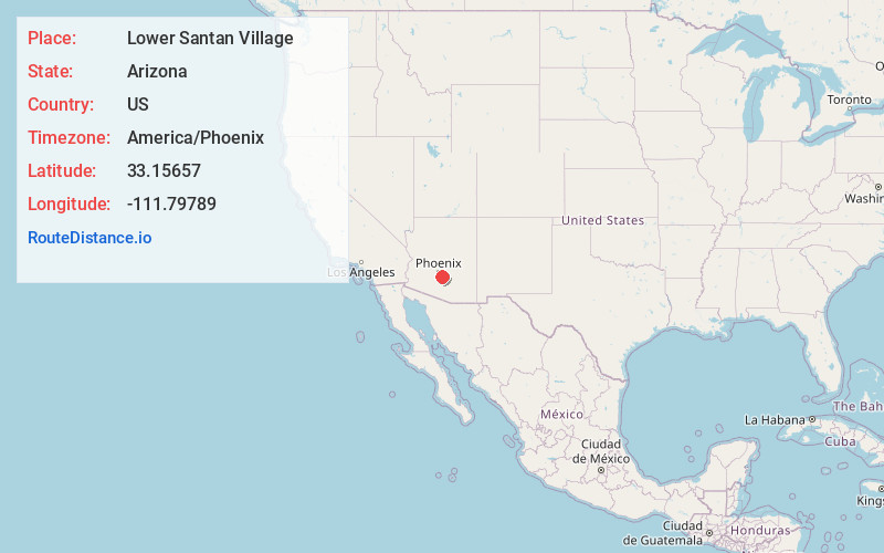
Full AddressLower Santan Village, AZ
-
Coordinates33.1565696, -111.7978899
-
LocationLower Santan Village , Arizona , US
-
TimezoneAmerica/Phoenix
-
Current Local Time2:08:57 PM America/PhoenixWednesday, June 18, 2025
-
Page Views0
About Lower Santan Village
Santan is an unincorporated community, and former census-designated place, in Pinal County, Arizona, United States. The settlement was named "Santa Ana" by its Akimel O'odham inhabitants in 1857, and pronounced "Santana".


Nearby Places
Found 10 places within 50 miles

Stotonic Village
1.0 mi
1.6 km
Stotonic Village, AZ
Get directions
Goodyear Village
5.3 mi
8.5 km
Goodyear Village, AZ
Get directions

Casa Blanca
5.8 mi
9.3 km
Casa Blanca, AZ
Get directions

Sun Lakes
6.2 mi
10.0 km
Sun Lakes, AZ 85248
Get directions

Sacaton
6.5 mi
10.5 km
Sacaton, AZ
Get directions
Sacaton Flats
9.6 mi
15.4 km
Sacaton Flats, AZ
Get directions

Chandler
10.6 mi
17.1 km
Chandler, AZ
Get directions

Queen Creek
11.2 mi
18.0 km
Queen Creek, AZ
Get directions

Gilbert
13.6 mi
21.9 km
Gilbert, AZ
Get directions

San Tan Valley
14.6 mi
23.5 km
San Tan Valley, AZ
Get directions
Location Links
Local Weather
Weather Information
Coming soon!
Location Map
Static map view of Lower Santan Village, Arizona
Browse Places by Distance
Places within specific distances from Lower Santan Village
Short Distances
Long Distances
Click any distance to see all places within that range from Lower Santan Village. Distances shown in miles (1 mile ≈ 1.61 kilometers).