Distance to Lower Vacherie, Louisiana

Calculating Your Route
Just a moment while we process your request...
Location Information
-
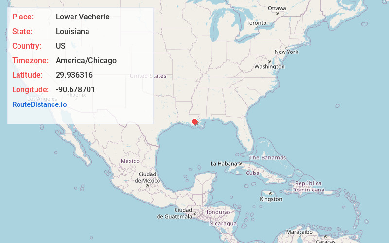
Full AddressLower Vacherie, South Vacherie, LA 70090
-
Coordinates29.9363158, -90.6787008
-
LocationSouth Vacherie , Louisiana , US
-
TimezoneAmerica/Chicago
-
Current Local Time10:09:38 PM America/ChicagoMonday, June 9, 2025
-
Page Views0
About Lower Vacherie
South Vacherie is a census-designated place in St. James Parish, Louisiana, United States. The population was 3,543 at the 2000 census. In French, the name defines a cattle range for grazing.
Nearby Places
Found 10 places within 50 miles

South Vacherie
1.0 mi
1.6 km
South Vacherie, LA 70090
Get directions

Golden Star Plantation
1.1 mi
1.8 km
Golden Star Plantation, Pleasure Bend, LA 70090
Get directions
Webre Steib Plantation
2.4 mi
3.9 km
Webre Steib Plantation, LA 70090
Get directions
Pleasure Bend
3.3 mi
5.3 km
Pleasure Bend, LA 70090
Get directions

Vacherie
5.7 mi
9.2 km
Vacherie, LA 70090
Get directions
Johnson
6.1 mi
9.8 km
Johnson, LA 70049
Get directions

Paulina
6.5 mi
10.5 km
Paulina, LA
Get directions
Choctaw
6.7 mi
10.8 km
Choctaw, LA 70301
Get directions
Remy
6.9 mi
11.1 km
Remy, Grand Point, LA 70763
Get directions
Bessie K
7.3 mi
11.7 km
Bessie K, LA 70090
Get directions
Location Links
Local Weather
Weather Information
Coming soon!
Location Map
Static map view of Lower Vacherie, Louisiana
Browse Places by Distance
Places within specific distances from Lower Vacherie
Short Distances
Long Distances
Click any distance to see all places within that range from Lower Vacherie. Distances shown in miles (1 mile ≈ 1.61 kilometers).