Distance to Lower Windsor Township, Pennsylvania

Calculating Your Route
Just a moment while we process your request...
Location Information
-
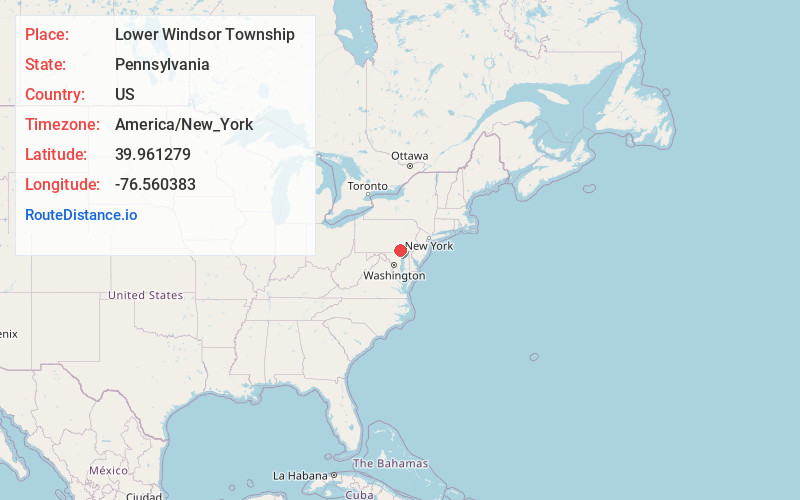
Full AddressLower Windsor Township, PA
-
Coordinates39.9612788, -76.5603828
-
LocationLower Windsor Township , Pennsylvania , US
-
TimezoneAmerica/New_York
-
Current Local Time10:59:00 AM America/New_YorkSunday, June 1, 2025
-
Page Views0
About Lower Windsor Township
Lower Windsor Township is a township in York County, Pennsylvania, United States. The population was 7,519 at the 2020 census. Samuel S. Lewis State Park overlooks the Susquehanna River in the eastern part of the township.
Nearby Places
Found 10 places within 50 miles

Columbia
5.8 mi
9.3 km
Columbia, PA 17512
Get directions

Springettsbury Township
6.5 mi
10.5 km
Springettsbury Township, PA
Get directions

East York
6.7 mi
10.8 km
East York, PA 17402
Get directions

West Hempfield Township
7.9 mi
12.7 km
West Hempfield Township, PA
Get directions
East Donegal Township
8.4 mi
13.5 km
East Donegal Township, PA
Get directions

York
8.8 mi
14.2 km
York, PA
Get directions

East Manchester Township
9.1 mi
14.6 km
East Manchester Township, PA
Get directions
Silver Spring
9.7 mi
15.6 km
Silver Spring, PA 17512
Get directions

Mount Joy
10.7 mi
17.2 km
Mount Joy, PA 17552
Get directions
Millersville
11.2 mi
18.0 km
Millersville, PA
Get directions
Location Links
Local Weather
Weather Information
Coming soon!
Location Map
Static map view of Lower Windsor Township, Pennsylvania
Browse Places by Distance
Places within specific distances from Lower Windsor Township
Short Distances
Long Distances
Click any distance to see all places within that range from Lower Windsor Township. Distances shown in miles (1 mile ≈ 1.61 kilometers).