Distance to Lower Yoder Township, Pennsylvania

Calculating Your Route
Just a moment while we process your request...
Location Information
-
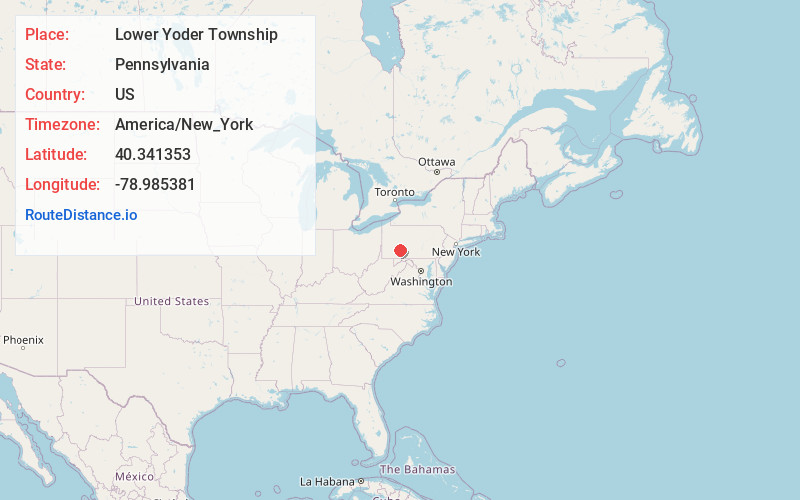
Full AddressLower Yoder Township, PA
-
Coordinates40.3413526, -78.9853813
-
LocationLower Yoder Township , Pennsylvania , US
-
TimezoneAmerica/New_York
-
Current Local Time10:51:42 PM America/New_YorkTuesday, July 1, 2025
-
Page Views0
About Lower Yoder Township
Lower Yoder Township is a township in Cambria County, Pennsylvania, United States. The population was 2,699 at the 2010 census, down from 3,029 at the 2000 census. It is part of the Johnstown, Pennsylvania Metropolitan Statistical Area.
Nearby Places
Found 10 places within 50 miles

Westmont
2.5 mi
4.0 km
Westmont, PA
Get directions

Upper Yoder Township
2.9 mi
4.7 km
Upper Yoder Township, PA 15905
Get directions

Johnstown
3.5 mi
5.6 km
Johnstown, PA
Get directions
Elim
3.8 mi
6.1 km
Elim, PA 15905
Get directions
East Taylor Township
6.7 mi
10.8 km
East Taylor Township, PA
Get directions
Conemaugh Township Area School District
6.7 mi
10.8 km
Conemaugh Township Area School District, PA
Get directions
Geistown
6.8 mi
10.9 km
Geistown, PA 15904
Get directions
Armagh
8.1 mi
13.0 km
Armagh, PA 15920
Get directions

Robinson
9.1 mi
14.6 km
Robinson, PA
Get directions

Windber
10.6 mi
17.1 km
Windber, PA 15963
Get directions
Location Links
Local Weather
Weather Information
Coming soon!
Location Map
Static map view of Lower Yoder Township, Pennsylvania
Browse Places by Distance
Places within specific distances from Lower Yoder Township
Short Distances
Long Distances
Click any distance to see all places within that range from Lower Yoder Township. Distances shown in miles (1 mile ≈ 1.61 kilometers).