Distance to Lowes, Kentucky

Calculating Your Route
Just a moment while we process your request...
Location Information
-
Full AddressLowes, KY
-
Coordinates36.8856115, -88.7739429
-
LocationLowes , Kentucky , US
-
TimezoneAmerica/Chicago
-
Current Local Time3:00:25 PM America/ChicagoWednesday, June 25, 2025
-
Page Views0
About Lowes
Lowes is an unincorporated community and census-designated place in Graves County, Kentucky, United States. Lowes is 13 miles northwest of Mayfield. As of the 2010 Census the population of Lowes was 98.
Nearby Places
Found 10 places within 50 miles

Fancy Farm
6.0 mi
9.7 km
Fancy Farm, KY 42039
Get directions

Cunningham
6.6 mi
10.6 km
Cunningham, KY
Get directions

Massac
11.6 mi
18.7 km
Massac, KY 42001
Get directions

Mayfield
12.5 mi
20.1 km
Mayfield, KY 42066
Get directions

Bardwell
13.1 mi
21.1 km
Bardwell, KY 42023
Get directions
Hendron
13.3 mi
21.4 km
Hendron, KY 42003
Get directions
Pryorsburg
13.8 mi
22.2 km
Pryorsburg, KY
Get directions
Symsonia
14.2 mi
22.9 km
Symsonia, KY 42082
Get directions
Arlington
14.8 mi
23.8 km
Arlington, KY 42021
Get directions

Kevil
15.1 mi
24.3 km
Kevil, KY 42053
Get directions
Location Links
Local Weather
Weather Information
Coming soon!
Location Map
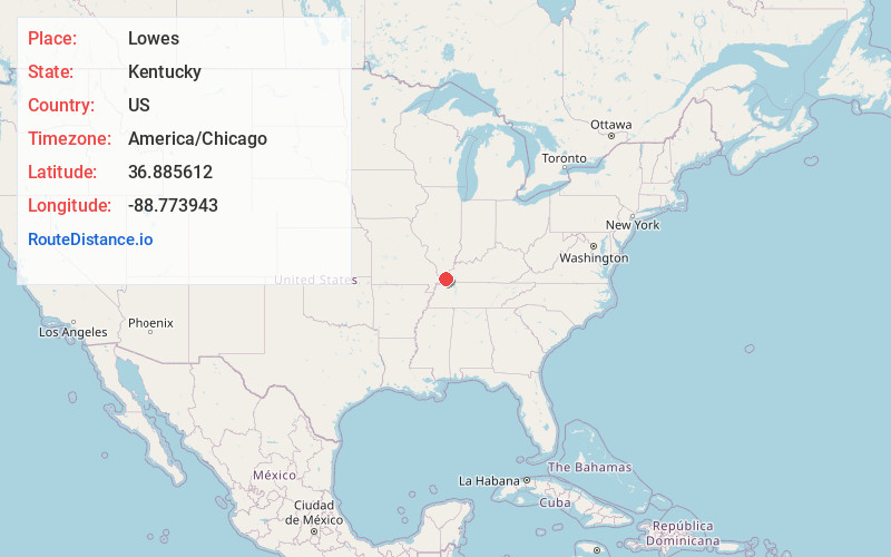
Static map view of Lowes, Kentucky
Browse Places by Distance
Places within specific distances from Lowes
Short Distances
Long Distances
Click any distance to see all places within that range from Lowes. Distances shown in miles (1 mile ≈ 1.61 kilometers).