Distance to and from Lowesville, North Carolina
Lowesville, NC
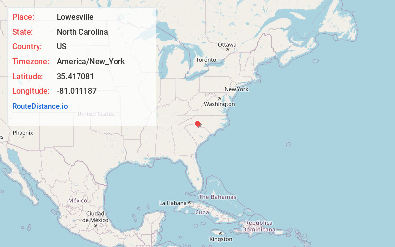
Lowesville
North Carolina
US
America/New_York
Location Information
-
Full AddressLowesville, NC
-
Coordinates35.4170805, -81.011187
-
LocationLowesville , North Carolina , US
-
TimezoneAmerica/New_York
-
Current Local Time12:08:13 PM America/New_YorkSaturday, May 3, 2025
-
Page Views0
Directions to Nearest Cities
About Lowesville
Lowesville is a census-designated place in Lincoln County, North Carolina, United States. The population was 2,945 at the 2010 census, up from 1,440 in 2000.
Nearby Places
Found 10 places within 50 miles

Westport
6.1 mi
9.8 km
Westport, NC
Get directions

Stanley
6.3 mi
10.1 km
Stanley, NC
Get directions

Mt Holly
8.4 mi
13.5 km
Mt Holly, NC
Get directions

Huntersville
9.5 mi
15.3 km
Huntersville, NC 28078
Get directions

Cornelius
9.7 mi
15.6 km
Cornelius, NC
Get directions

Davidson
10.8 mi
17.4 km
Davidson, NC
Get directions
Ranlo
11.3 mi
18.2 km
Ranlo, NC
Get directions

Lowell
11.4 mi
18.3 km
Lowell, NC
Get directions

Dallas
11.6 mi
18.7 km
Dallas, NC
Get directions

Belmont
12.1 mi
19.5 km
Belmont, NC
Get directions
Westport
6.1 mi
9.8 km
Westport, NC
Stanley
6.3 mi
10.1 km
Stanley, NC
Mt Holly
8.4 mi
13.5 km
Mt Holly, NC
Huntersville
9.5 mi
15.3 km
Huntersville, NC 28078
Cornelius
9.7 mi
15.6 km
Cornelius, NC
Davidson
10.8 mi
17.4 km
Davidson, NC
Ranlo
11.3 mi
18.2 km
Ranlo, NC
Lowell
11.4 mi
18.3 km
Lowell, NC
Dallas
11.6 mi
18.7 km
Dallas, NC
Belmont
12.1 mi
19.5 km
Belmont, NC
Location Links
Local Weather
Weather Information
Coming soon!
Location Map
Static map view of Lowesville, North Carolina
Browse Places by Distance
Places within specific distances from Lowesville
Short Distances
Long Distances
Click any distance to see all places within that range from Lowesville. Distances shown in miles (1 mile ≈ 1.61 kilometers).