Distance to Lowndesboro, Alabama

Calculating Your Route
Just a moment while we process your request...
Location Information
-
Full AddressLowndesboro, AL 36752
-
Coordinates32.2751399, -86.6113658
-
LocationLowndesboro , Alabama , US
-
TimezoneAmerica/Chicago
-
Current Local Time7:19:34 PM America/ChicagoThursday, June 19, 2025
-
Page Views0
About Lowndesboro
Lowndesboro is a town in Lowndes County, Alabama, United States. At the 2010 census the population was 115, down from 140 in 2000. It is part of the Montgomery Metropolitan Statistical Area. Although initially incorporated in 1856 by an act of the state legislature, it lapsed and was not reincorporated until 1962.

Nearby Places
Found 10 places within 50 miles

Hayneville
6.6 mi
10.6 km
Hayneville, AL 36040
Get directions

White Hall
6.9 mi
11.1 km
White Hall, AL
Get directions

Mosses
7.6 mi
12.2 km
Mosses, AL 36040
Get directions
Gordonville
9.4 mi
15.1 km
Gordonville, AL 36040
Get directions

Autaugaville
11.3 mi
18.2 km
Autaugaville, AL
Get directions

Prattville
15.8 mi
25.4 km
Prattville, AL
Get directions

Montgomery
19.1 mi
30.7 km
Montgomery, AL
Get directions
Fort Deposit
20.2 mi
32.5 km
Fort Deposit, AL 36032
Get directions

Millbrook
20.3 mi
32.7 km
Millbrook, AL
Get directions
Coosada
22.4 mi
36.0 km
Coosada, AL
Get directions
Location Links
Local Weather
Weather Information
Coming soon!
Location Map
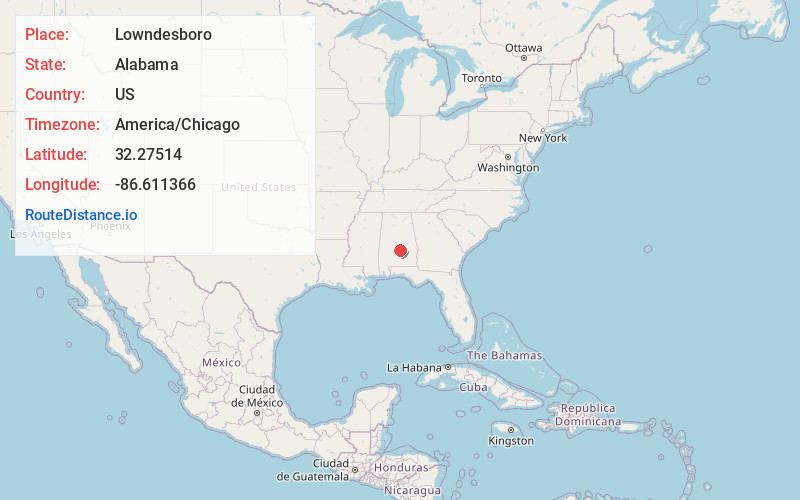
Static map view of Lowndesboro, Alabama
Browse Places by Distance
Places within specific distances from Lowndesboro
Short Distances
Long Distances
Click any distance to see all places within that range from Lowndesboro. Distances shown in miles (1 mile ≈ 1.61 kilometers).