Distance to Lowville, Wisconsin

Calculating Your Route
Just a moment while we process your request...
Location Information
-
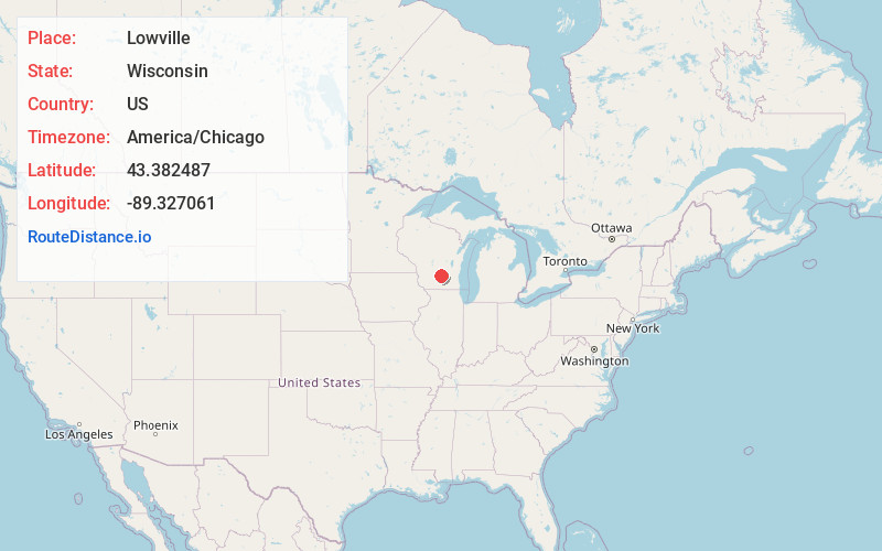
Full AddressLowville, WI 53955
-
Coordinates43.3824871, -89.3270614
-
LocationLowville , Wisconsin , US
-
TimezoneAmerica/Chicago
-
Current Local Time9:52:08 PM America/ChicagoThursday, May 29, 2025
-
Page Views0
About Lowville
Lowville is a town in Columbia County, Wisconsin, United States. The population was 987 at the 2000 census.
Nearby Places
Found 10 places within 50 miles

North Leeds
3.5 mi
5.6 km
North Leeds, Leeds, WI 53911
Get directions

Poynette
3.8 mi
6.1 km
Poynette, WI 53955
Get directions

Arlington
4.1 mi
6.6 km
Arlington, WI 53911
Get directions
Leeds
5.0 mi
8.0 km
Leeds, WI 53911
Get directions

Rio
6.3 mi
10.1 km
Rio, WI 53960
Get directions
Keyeser
6.9 mi
11.1 km
Keyeser, Leeds, WI 53955
Get directions
Wyocena
7.9 mi
12.7 km
Wyocena, WI
Get directions
Otsego
8.2 mi
13.2 km
Otsego, WI 53960
Get directions
Hampden
8.6 mi
13.8 km
Hampden, WI
Get directions

Dekorra
8.8 mi
14.2 km
Dekorra, WI 53955
Get directions
Location Links
Local Weather
Weather Information
Coming soon!
Location Map
Static map view of Lowville, Wisconsin
Browse Places by Distance
Places within specific distances from Lowville
Short Distances
Long Distances
Click any distance to see all places within that range from Lowville. Distances shown in miles (1 mile ≈ 1.61 kilometers).