Distance to Loxahatchee, Florida

Calculating Your Route
Just a moment while we process your request...
Location Information
-
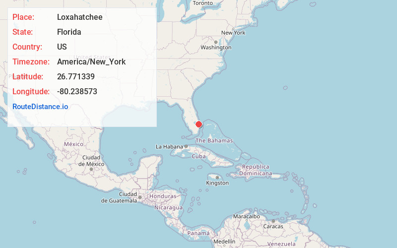
Full AddressLoxahatchee, The Acreage, FL 33412
-
Coordinates26.7713387, -80.2385732
-
NeighborhoodLoxahatchee
-
LocationThe Acreage , Florida , US
-
TimezoneAmerica/New_York
-
Current Local Time1:09:20 AM America/New_YorkWednesday, June 25, 2025
-
Page Views0
About Loxahatchee
Loxahatchee is an unincorporated community in Palm Beach County, Florida, United States, located north of Wellington, and west and northwest of Royal Palm Beach, approximately 17 miles west of West Palm Beach. Loxahatchee is under the zip code of 33470.
The community took its name from the Loxahatchee River.


Nearby Places
Found 10 places within 50 miles

The Acreage
1.0 mi
1.6 km
The Acreage, FL
Get directions

Loxahatchee Groves
4.8 mi
7.7 km
Loxahatchee Groves, FL 33470
Get directions

Delta
6.1 mi
9.8 km
Delta, FL 33412
Get directions

Wellington
7.8 mi
12.6 km
Wellington, FL
Get directions
Schall Circle
8.5 mi
13.7 km
Schall Circle, FL
Get directions
Lake Belvedere Estates
8.6 mi
13.8 km
Lake Belvedere Estates, FL
Get directions
Military Park
8.6 mi
13.8 km
Military Park, Schall Circle, FL 33417
Get directions

Stacey Street
8.7 mi
14.0 km
Stacey Street, FL 33417
Get directions

Haverhill
9.2 mi
14.8 km
Haverhill, FL
Get directions
Golfview
9.6 mi
15.4 km
Golfview, FL 33415
Get directions
Location Links
Local Weather
Weather Information
Coming soon!
Location Map
Static map view of Loxahatchee, Florida
Browse Places by Distance
Places within specific distances from Loxahatchee
Short Distances
Long Distances
Click any distance to see all places within that range from Loxahatchee. Distances shown in miles (1 mile ≈ 1.61 kilometers).