Distance to Lucea

Calculating Your Route
Just a moment while we process your request...
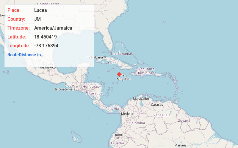
Location Information
-
Full AddressLucea, Jamaica
-
Coordinates18.4504186, -78.1763937
-
LocationLucea , JM
-
TimezoneAmerica/Jamaica
-
Current Local Time12:21:04 AM America/JamaicaSunday, May 25, 2025
-
Page Views0
About Lucea
Lucea is a coastal town in Jamaica, between Negril and Montego Bay. It’s known for its secluded beaches. At the mouth of Tom Pipers Bay is Fort Charlotte, built by the British. The fort is said to have a tunnel leading to the 18th-century Hanover Parish Church nearby. In a former prison, the Hanover Museum illuminates the town’s past. The forests around Lucea have a number of waterfalls, including Mayfield Falls.


Nearby Places


Location Links
Local Weather
Weather Information
Coming soon!
Location Map
Static map view of Lucea
Browse Places by Distance
Places within specific distances from Lucea
Short Distances
Long Distances
Click any distance to see all places within that range from Lucea. Distances shown in miles (1 mile ≈ 1.61 kilometers).