Distance to Lucerne, Colorado

Calculating Your Route
Just a moment while we process your request...
Location Information
-
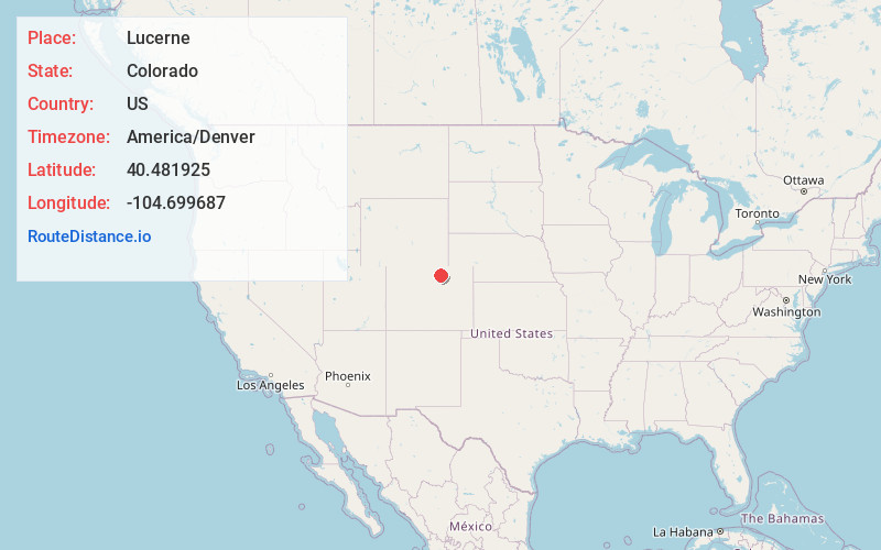
Full AddressLucerne, CO 80631
-
Coordinates40.4819249, -104.699687
-
LocationLucerne , Colorado , US
-
TimezoneAmerica/Denver
-
Current Local Time6:02:52 PM America/DenverWednesday, June 18, 2025
-
Page Views0
About Lucerne
Lucerne is an unincorporated community and a U.S. Post Office in Weld County, Colorado, United States. The Lucerne Post Office has the ZIP Code 80646.
The post office has been in operation since 1892. The community was named after the lucerne that grew near the original town site.


Nearby Places
Found 10 places within 50 miles

Eaton
2.6 mi
4.2 km
Eaton, CO 80615
Get directions

Greeley
4.1 mi
6.6 km
Greeley, CO
Get directions

Cloverly
4.2 mi
6.8 km
Cloverly, CO 80631
Get directions
Gates
4.5 mi
7.2 km
Gates, CO 80615
Get directions
Jackson Field
5.2 mi
8.4 km
Jackson Field, Greeley, CO 80639
Get directions
Hurrich
6.0 mi
9.7 km
Hurrich, CO 80615
Get directions

Garden City
6.1 mi
9.8 km
Garden City, CO 80631
Get directions

Ault
7.2 mi
11.6 km
Ault, CO
Get directions

Evans
7.3 mi
11.7 km
Evans, CO
Get directions
Comer
8.2 mi
13.2 km
Comer, Windsor, CO 80631
Get directions
Location Links
Local Weather
Weather Information
Coming soon!
Location Map
Static map view of Lucerne, Colorado
Browse Places by Distance
Places within specific distances from Lucerne
Short Distances
Long Distances
Click any distance to see all places within that range from Lucerne. Distances shown in miles (1 mile ≈ 1.61 kilometers).