Distance to Lucinda, Pennsylvania

Calculating Your Route
Just a moment while we process your request...
Location Information
-
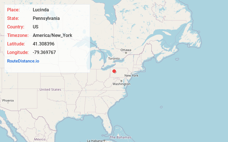
Full AddressLucinda, PA 16235
-
Coordinates41.308396, -79.3697665
-
LocationLucinda , Pennsylvania , US
-
TimezoneAmerica/New_York
-
Current Local Time8:57:48 AM America/New_YorkThursday, July 3, 2025
-
Page Views0
About Lucinda
Lucinda is an unincorporated community in Clarion County, Pennsylvania, United States. The community is located on Pennsylvania Route 66, 6.5 miles north of Clarion. Lucinda has a post office with ZIP code 16235, which opened on January 15, 1840.

Nearby Places
Found 10 places within 50 miles

Huefner
1.0 mi
1.6 km
Huefner, PA 16235
Get directions
Snydersburg
1.8 mi
2.9 km
Snydersburg, PA 16235
Get directions
Arthurs
2.8 mi
4.5 km
Arthurs, PA 16254
Get directions
Helen Furnace
3.2 mi
5.1 km
Helen Furnace, Highland Township, PA 16214
Get directions
Miola
4.1 mi
6.6 km
Miola, Highland Township, PA 16214
Get directions
Paint Mills
4.6 mi
7.4 km
Paint Mills, Paint Township, PA 16254
Get directions
Strobleton
4.6 mi
7.4 km
Strobleton, Washington Township, PA 16353
Get directions

Fryburg
4.7 mi
7.6 km
Fryburg, PA 16364
Get directions
Marianne
5.3 mi
8.5 km
Marianne, PA 16254
Get directions
McCauley
5.4 mi
8.7 km
McCauley, Washington Township, PA 16353
Get directions
Location Links
Local Weather
Weather Information
Coming soon!
Location Map
Static map view of Lucinda, Pennsylvania
Browse Places by Distance
Places within specific distances from Lucinda
Short Distances
Long Distances
Click any distance to see all places within that range from Lucinda. Distances shown in miles (1 mile ≈ 1.61 kilometers).