Distance to Ludlow, Pennsylvania

Calculating Your Route
Just a moment while we process your request...
Location Information
-
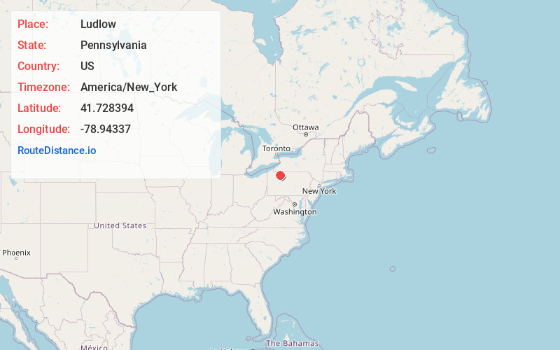
Full AddressLudlow, PA 16735
-
Coordinates41.7283944, -78.9433698
-
LocationLudlow , Pennsylvania , US
-
TimezoneAmerica/New_York
-
Current Local Time4:16:08 AM America/New_YorkWednesday, June 25, 2025
-
Page Views0
About Ludlow
Ludlow is an unincorporated community in western McKean County, Pennsylvania, United States. It is situated at 41°43´N, 78°56´W, within the Allegheny National Forest. U.S. Route 6 passes through the community.
Ludlow is home to the historic Olmsted Manor, as well as Wildcat Park.

Nearby Places
Found 10 places within 50 miles

Roystone
1.5 mi
2.4 km
Roystone, Sheffield Township, PA 16347
Get directions
Gibbs Hill
1.9 mi
3.1 km
Gibbs Hill, Hamilton Township, PA 16735
Get directions
Shelander Hollow
4.1 mi
6.6 km
Shelander Hollow, Sheffield Township, PA 16347
Get directions
Wetmore
4.2 mi
6.8 km
Wetmore, Hamilton Township, PA 16735
Get directions

Sheffield
5.0 mi
8.0 km
Sheffield, PA 16347
Get directions
Barnes
5.6 mi
9.0 km
Barnes, Sheffield Township, PA 16347
Get directions
Saybrook
5.6 mi
9.0 km
Saybrook, Sheffield, PA 16347
Get directions
Tiona
6.5 mi
10.5 km
Tiona, PA
Get directions

Mead Township
7.6 mi
12.2 km
Mead Township, PA
Get directions
Brookston
7.9 mi
12.7 km
Brookston, Howe Township, PA 16347
Get directions
Location Links
Local Weather
Weather Information
Coming soon!
Location Map
Static map view of Ludlow, Pennsylvania
Browse Places by Distance
Places within specific distances from Ludlow
Short Distances
Long Distances
Click any distance to see all places within that range from Ludlow. Distances shown in miles (1 mile ≈ 1.61 kilometers).