Distance to Ludlow, Massachusetts

Calculating Your Route
Just a moment while we process your request...
Location Information
-
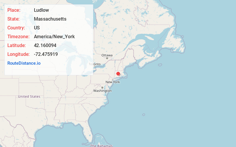
Full AddressLudlow, MA
-
Coordinates42.1600936, -72.475919
-
LocationLudlow , Massachusetts , US
-
TimezoneAmerica/New_York
-
Current Local Time11:25:42 PM America/New_YorkWednesday, June 18, 2025
-
Website
-
Page Views0
About Ludlow
Ludlow is a New England town in Hampden County, Massachusetts, United States. The population was 21,002 as of the 2020 census, and it is considered part of the Springfield Metropolitan Statistical Area. Located just northeast of Springfield across the Chicopee River, it is one of the city's suburbs.


Nearby Places
Found 10 places within 50 miles

Chicopee
6.8 mi
10.9 km
Chicopee, MA
Get directions

Springfield
7.1 mi
11.4 km
Springfield, MA
Get directions

West Springfield
8.3 mi
13.4 km
West Springfield, MA
Get directions

Agawam
9.5 mi
15.3 km
Agawam, MA
Get directions

Northampton
14.2 mi
22.9 km
Northampton, MA
Get directions

Westfield
14.2 mi
22.9 km
Westfield, MA 01085
Get directions

Hartford
29.1 mi
46.8 km
Hartford, CT
Get directions

Worcester
35.2 mi
56.6 km
Worcester, MA
Get directions

New Britain
37.5 mi
60.4 km
New Britain, CT
Get directions

Shrewsbury
39.7 mi
63.9 km
Shrewsbury, MA
Get directions
Location Links
Local Weather
Weather Information
Coming soon!
Location Map
Static map view of Ludlow, Massachusetts
Browse Places by Distance
Places within specific distances from Ludlow
Short Distances
Long Distances
Click any distance to see all places within that range from Ludlow. Distances shown in miles (1 mile ≈ 1.61 kilometers).