Distance to Lumberton, Virginia

Calculating Your Route
Just a moment while we process your request...
Location Information
-
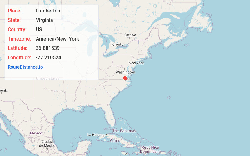
Full AddressLumberton, VA 23890
-
Coordinates36.8815389, -77.2105242
-
LocationVirginia , US
-
TimezoneAmerica/New_York
-
Current Local Time8:49:41 PM America/New_YorkTuesday, June 17, 2025
-
Page Views0
Nearby Places
Found 10 places within 50 miles

Sussex
4.5 mi
7.2 km
Sussex, VA
Get directions
Booker
5.7 mi
9.2 km
Booker, VA 23890
Get directions
West Hope
6.2 mi
10.0 km
West Hope, VA 23882
Get directions
Howells Mill
6.6 mi
10.6 km
Howells Mill, VA 23897
Get directions
Lambs
8.0 mi
12.9 km
Lambs, VA 23890
Get directions
Manry
9.7 mi
15.6 km
Manry, VA 23888
Get directions
Worrell
10.8 mi
17.4 km
Worrell, VA 23829
Get directions
Vicksville
11.4 mi
18.3 km
Vicksville, VA 23878
Get directions

Stony Creek
11.5 mi
18.5 km
Stony Creek, VA 23882
Get directions
Huske
11.6 mi
18.7 km
Huske, VA 23882
Get directions
Location Links
Local Weather
Weather Information
Coming soon!
Location Map
Static map view of Lumberton, Virginia
Browse Places by Distance
Places within specific distances from Lumberton
Short Distances
Long Distances
Click any distance to see all places within that range from Lumberton. Distances shown in miles (1 mile ≈ 1.61 kilometers).