Distance to Lumptown, North Carolina

Calculating Your Route
Just a moment while we process your request...
Location Information
-
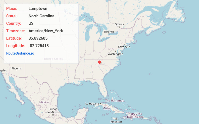
Full AddressLumptown, NC 28753
-
Coordinates35.8926049, -82.7254176
-
LocationNorth Carolina , US
-
TimezoneAmerica/New_York
-
Current Local Time8:17:20 PM America/New_YorkFriday, June 20, 2025
-
Page Views0
Nearby Places
Found 10 places within 50 miles

Revere
1.4 mi
2.3 km
Revere, NC 28753
Get directions
Belva
3.0 mi
4.8 km
Belva, NC 28753
Get directions
Allenstand
5.8 mi
9.3 km
Allenstand, NC 28753
Get directions

Hot Springs
5.8 mi
9.3 km
Hot Springs, NC 28743
Get directions

Marshall
7.0 mi
11.3 km
Marshall, NC 28753
Get directions
Allegheny
7.4 mi
11.9 km
Allegheny, NC 28753
Get directions
Rollins
7.9 mi
12.7 km
Rollins, Marshall, NC 28753
Get directions

Mars Hill
10.9 mi
17.5 km
Mars Hill, NC 28754
Get directions

Camp Creek
13.6 mi
21.9 km
Camp Creek, TN 37743
Get directions
Buckner
13.7 mi
22.0 km
Buckner, NC 28754
Get directions
Location Links
Local Weather
Weather Information
Coming soon!
Location Map
Static map view of Lumptown, North Carolina
Browse Places by Distance
Places within specific distances from Lumptown
Short Distances
Long Distances
Click any distance to see all places within that range from Lumptown. Distances shown in miles (1 mile ≈ 1.61 kilometers).