Distance to Lura Township, Minnesota

Calculating Your Route
Just a moment while we process your request...
Location Information
-
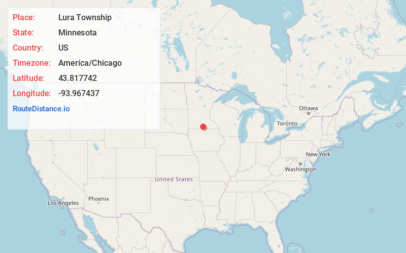
Full AddressLura Township, MN
-
Coordinates43.8177417, -93.9674371
-
LocationLura Township , Minnesota , US
-
TimezoneAmerica/Chicago
-
Current Local Time7:01:56 PM America/ChicagoFriday, May 30, 2025
-
Page Views0
About Lura Township
Lura Township is a township in Faribault County, Minnesota, United States. The population was 217 at the 2000 census.
Lura Township was organized in 1864, and named after Lura Lake.
Nearby Places
Found 10 places within 50 miles

Delavan
4.3 mi
6.9 km
Delavan, MN 56023
Get directions
Easton
5.0 mi
8.0 km
Easton, MN 56025
Get directions

Minnesota Lake
7.0 mi
11.3 km
Minnesota Lake, MN 56068
Get directions
Mapleton
7.7 mi
12.4 km
Mapleton, MN 56065
Get directions
Barber Township
8.1 mi
13.0 km
Barber Township, MN
Get directions
Sterling Center
8.2 mi
13.2 km
Sterling Center, Sterling Township, MN 56010
Get directions
Walnut Lake Township
9.8 mi
15.8 km
Walnut Lake Township, MN
Get directions

Winnebago
10.5 mi
16.9 km
Winnebago, MN 56098
Get directions
Amboy
10.6 mi
17.1 km
Amboy, MN 56010
Get directions
Riverside Heights
12.8 mi
20.6 km
Riverside Heights, Blue Earth City Township, MN 56013
Get directions
Location Links
Local Weather
Weather Information
Coming soon!
Location Map
Static map view of Lura Township, Minnesota
Browse Places by Distance
Places within specific distances from Lura Township
Short Distances
Long Distances
Click any distance to see all places within that range from Lura Township. Distances shown in miles (1 mile ≈ 1.61 kilometers).