Distance to Lushbaugh Run, Pennsylvania

Calculating Your Route
Just a moment while we process your request...
Location Information
-
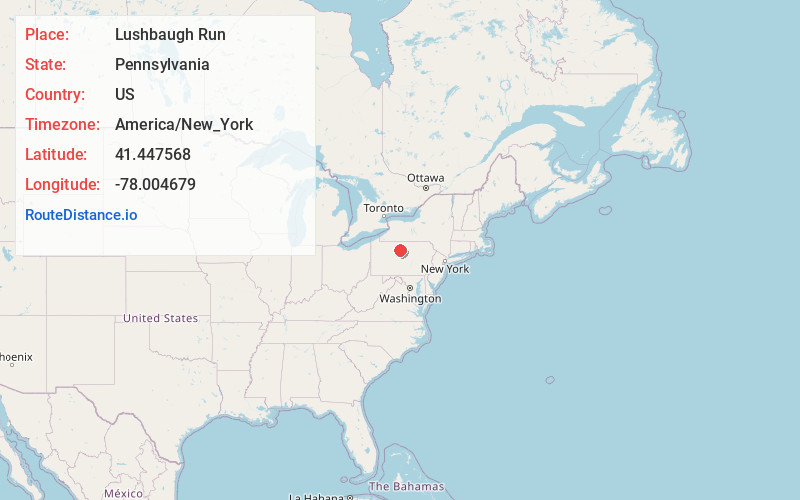
Full AddressLushbaugh Run, Pennsylvania
-
Coordinates41.4475678, -78.0046789
-
LocationPennsylvania , US
-
TimezoneAmerica/New_York
-
Current Local Time12:37:04 PM America/New_YorkThursday, June 19, 2025
-
Page Views0
Nearby Places
Found 10 places within 50 miles

Leidy
5.2 mi
8.4 km
Leidy, PA 17764
Get directions
Wharton
5.9 mi
9.5 km
Wharton, PA 16720
Get directions

Cameron County
8.0 mi
12.9 km
Cameron County, PA
Get directions
Huntley
9.5 mi
15.3 km
Huntley, Gibson Township, PA 15832
Get directions

Driftwood
10.0 mi
16.1 km
Driftwood, PA 15832
Get directions
Sterling Run
10.3 mi
16.6 km
Sterling Run, Lumber Township, PA 15832
Get directions
Castle Garden
10.7 mi
17.2 km
Castle Garden, Gibson Township, PA 15832
Get directions
Gravel Lick
11.4 mi
18.3 km
Gravel Lick, Stewardson Township, PA 17729
Get directions
Shippen Township
11.9 mi
19.2 km
Shippen Township, PA
Get directions
East Keating Township
12.2 mi
19.6 km
East Keating Township, PA
Get directions
Location Links
Local Weather
Weather Information
Coming soon!
Location Map
Static map view of Lushbaugh Run, Pennsylvania
Browse Places by Distance
Places within specific distances from Lushbaugh Run
Short Distances
Long Distances
Click any distance to see all places within that range from Lushbaugh Run. Distances shown in miles (1 mile ≈ 1.61 kilometers).