Distance to Luthersville, Georgia

Calculating Your Route
Just a moment while we process your request...
Location Information
-
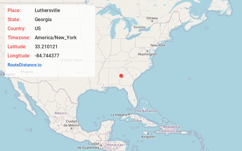
Full AddressLuthersville, GA 30251
-
Coordinates33.2101205, -84.7443765
-
LocationLuthersville , Georgia , US
-
TimezoneAmerica/New_York
-
Current Local Time1:54:17 PM America/New_YorkFriday, June 13, 2025
-
Page Views0
About Luthersville
Luthersville is a city in Meriwether County, Georgia, United States. The population was 776 at the 2020 census, down from 874 in 2010.


Nearby Places
Found 10 places within 50 miles

Grantville
5.6 mi
9.0 km
Grantville, GA
Get directions

East Newnan
10.1 mi
16.3 km
East Newnan, GA 30263
Get directions

Hogansville
10.2 mi
16.4 km
Hogansville, GA 30230
Get directions

Newnan
12.2 mi
19.6 km
Newnan, GA
Get directions

Greenville
12.7 mi
20.4 km
Greenville, GA 30222
Get directions

Senoia
12.7 mi
20.4 km
Senoia, GA 30276
Get directions

Woodbury
18.2 mi
29.3 km
Woodbury, GA 30293
Get directions

Tyrone
19.9 mi
32.0 km
Tyrone, GA
Get directions

LaGrange
20.5 mi
33.0 km
LaGrange, GA
Get directions

Franklin
21.0 mi
33.8 km
Franklin, GA 30217
Get directions
Location Links
Local Weather
Weather Information
Coming soon!
Location Map
Static map view of Luthersville, Georgia
Browse Places by Distance
Places within specific distances from Luthersville
Short Distances
Long Distances
Click any distance to see all places within that range from Luthersville. Distances shown in miles (1 mile ≈ 1.61 kilometers).