Distance to Lutts, Tennessee

Calculating Your Route
Just a moment while we process your request...
Location Information
-
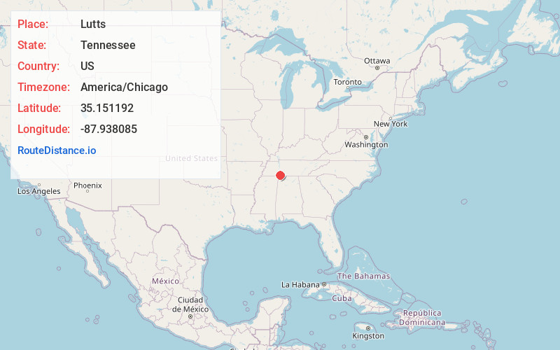
Full AddressLutts, TN 38471
-
Coordinates35.1511923, -87.9380848
-
LocationLutts , Tennessee , US
-
TimezoneAmerica/Chicago
-
Current Local Time8:49:35 AM America/ChicagoTuesday, June 24, 2025
-
Page Views0
About Lutts
Lutts is an unincorporated community in Wayne County, Tennessee, United States. It is also known as "Pinhook."
Lutts is served by the Lutts Volunteer Fire Department and Lutts Community Center. The Pinhook School formerly operated in Lutts.
Nearby Places
Found 10 places within 50 miles

Martins Mills
3.6 mi
5.8 km
Martins Mills, TN 38450
Get directions
Gillises Mills
5.6 mi
9.0 km
Gillises Mills, TN 38372
Get directions
Big Ivy
6.7 mi
10.8 km
Big Ivy, TN 38372
Get directions
Center Star
7.5 mi
12.1 km
Center Star, TN 38372
Get directions
Ransom Stand
8.4 mi
13.5 km
Ransom Stand, TN 38471
Get directions
Lowryville
9.7 mi
15.6 km
Lowryville, TN 38372
Get directions
Walnut Grove
10.0 mi
16.1 km
Walnut Grove, TN 38372
Get directions

Olivehill
10.0 mi
16.1 km
Olivehill, TN 38475
Get directions
McGlamery Stand
10.9 mi
17.5 km
McGlamery Stand, Collinwood, TN 38450
Get directions

Collinwood
11.3 mi
18.2 km
Collinwood, TN 38450
Get directions
Location Links
Local Weather
Weather Information
Coming soon!
Location Map
Static map view of Lutts, Tennessee
Browse Places by Distance
Places within specific distances from Lutts
Short Distances
Long Distances
Click any distance to see all places within that range from Lutts. Distances shown in miles (1 mile ≈ 1.61 kilometers).