Distance to Luverne, Alabama

Calculating Your Route
Just a moment while we process your request...
Location Information
-
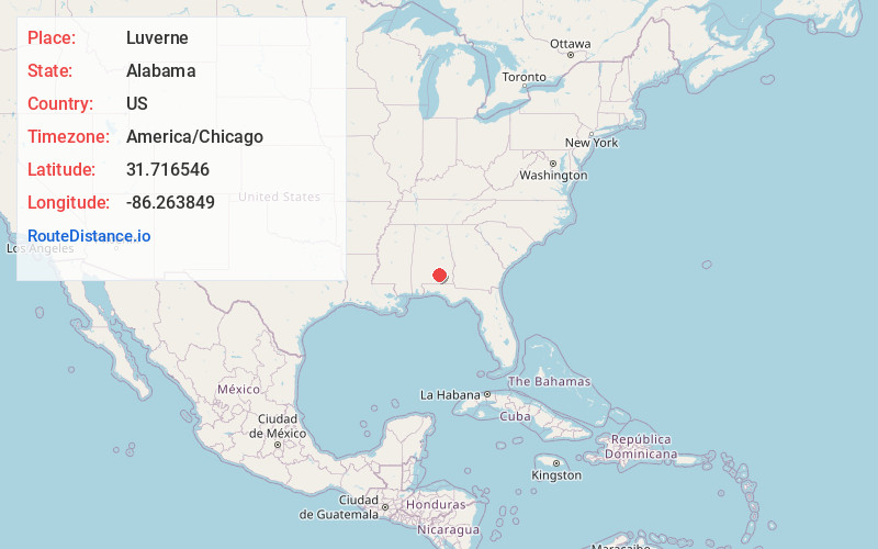
Full AddressLuverne, AL 36049
-
Coordinates31.7165455, -86.2638492
-
LocationLuverne , Alabama , US
-
TimezoneAmerica/Chicago
-
Current Local Time10:36:17 PM America/ChicagoSaturday, June 21, 2025
-
Website
-
Page Views0
About Luverne
Luverne is a city in and the county seat of Crenshaw County, Alabama, United States. The city describes itself as "The Friendliest City in the South", a slogan that appears on its "welcome" signs. At the 2020 census, the population was 2,765.


Nearby Places
Found 10 places within 50 miles

Troy
18.4 mi
29.6 km
Troy, AL
Get directions

Greenville
22.2 mi
35.7 km
Greenville, AL 36037
Get directions

Elba
23.8 mi
38.3 km
Elba, AL 36323
Get directions

Opp
30.0 mi
48.3 km
Opp, AL 36467
Get directions

Andalusia
31.0 mi
49.9 km
Andalusia, AL
Get directions

Enterprise
36.7 mi
59.1 km
Enterprise, AL 36330
Get directions

Pike Rd
39.2 mi
63.1 km
Pike Rd, AL
Get directions

Ozark
40.8 mi
65.7 km
Ozark, AL 36360
Get directions

Fort Novosel
41.5 mi
66.8 km
Fort Novosel, AL
Get directions

Daleville
42.9 mi
69.0 km
Daleville, AL
Get directions
Location Links
Local Weather
Weather Information
Coming soon!
Location Map
Static map view of Luverne, Alabama
Browse Places by Distance
Places within specific distances from Luverne
Short Distances
Long Distances
Click any distance to see all places within that range from Luverne. Distances shown in miles (1 mile ≈ 1.61 kilometers).