Distance to Lyburn, West Virginia

Calculating Your Route
Just a moment while we process your request...
Location Information
-
Full AddressLyburn, WV
-
Coordinates37.803236, -81.9293057
-
LocationLyburn , West Virginia , US
-
TimezoneAmerica/New_York
-
Current Local Time9:40:27 PM America/New_YorkFriday, June 20, 2025
-
Page Views0
About Lyburn
Lyburn is an unincorporated mining community in Logan County, West Virginia, United States. Lyburn is also the home of the Bearwallow trailhead for the Hatfield-Mccoy ATV trail.
Nearby Places
Found 10 places within 50 miles

Dehue
1.3 mi
2.1 km
Dehue, WV 25654
Get directions
Orville
2.2 mi
3.5 km
Orville, WV 25654
Get directions
McConnell
2.6 mi
4.2 km
McConnell, WV
Get directions
Earling
2.6 mi
4.2 km
Earling, WV 25632
Get directions
Rossmore
2.9 mi
4.7 km
Rossmore, WV 25601
Get directions
Chambers
3.0 mi
4.8 km
Chambers, WV 25654
Get directions
Stollings
3.1 mi
5.0 km
Stollings, WV 25601
Get directions
Argyle
3.3 mi
5.3 km
Argyle, WV 25654
Get directions
Switzer
3.3 mi
5.3 km
Switzer, WV
Get directions
Red Campbell
3.6 mi
5.8 km
Red Campbell, WV 25076
Get directions
Location Links
Local Weather
Weather Information
Coming soon!
Location Map
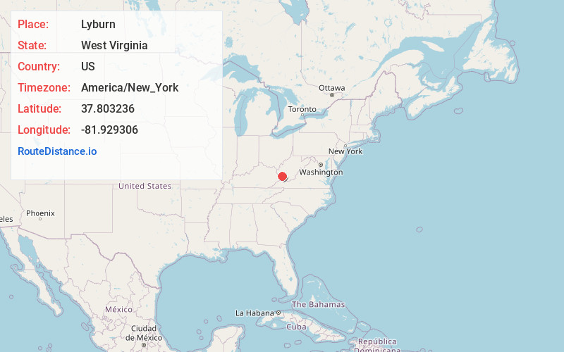
Static map view of Lyburn, West Virginia
Browse Places by Distance
Places within specific distances from Lyburn
Short Distances
Long Distances
Click any distance to see all places within that range from Lyburn. Distances shown in miles (1 mile ≈ 1.61 kilometers).