Distance to Lyford, Indiana

Calculating Your Route
Just a moment while we process your request...
Location Information
-
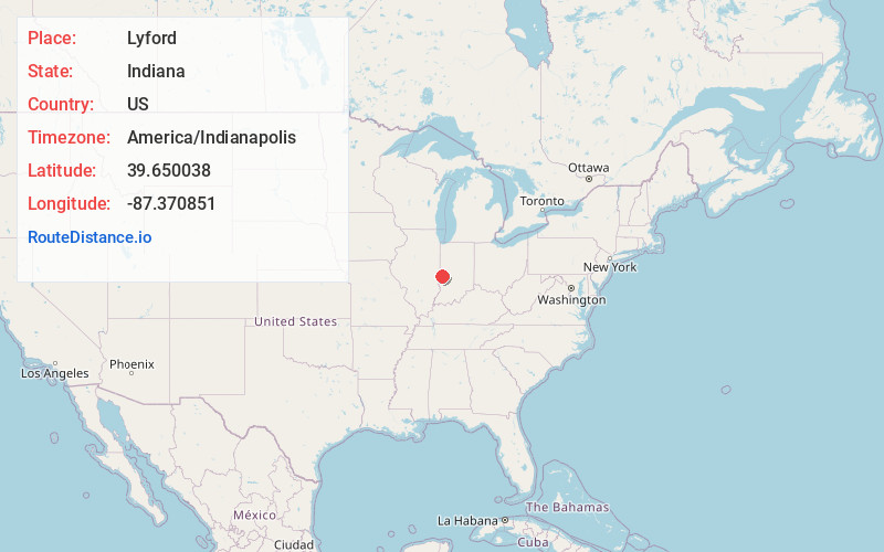
Full AddressLyford, IN 47874
-
Coordinates39.6500376, -87.3708513
-
LocationLyford , Indiana , US
-
TimezoneAmerica/Indianapolis
-
Page Views0
About Lyford
Lyford, also called Williamson, is an unincorporated community and census-designated place in western Florida Township, Parke County, in the U.S. state of Indiana. The town was formerly the site of Lyford School.
Nearby Places
Found 10 places within 50 miles

Clinton
1.5 mi
2.4 km
Clinton, IN 47842
Get directions

Fairview Park
3.2 mi
5.1 km
Fairview Park, IN 47842
Get directions

Rosedale
5.0 mi
8.0 km
Rosedale, IN 47874
Get directions
Mecca
5.7 mi
9.2 km
Mecca, IN
Get directions

Tecumseh
6.6 mi
10.6 km
Tecumseh, IN 47885
Get directions
New Goshen
6.8 mi
10.9 km
New Goshen, IN
Get directions
St Bernice
9.0 mi
14.5 km
St Bernice, IN 47842
Get directions

Montezuma
9.9 mi
15.9 km
Montezuma, IN 47862
Get directions

Rockville
10.8 mi
17.4 km
Rockville, IN 47872
Get directions

St Mary-Of-The-Woods
10.9 mi
17.5 km
St Mary-Of-The-Woods, IN
Get directions
Location Links
Local Weather
Weather Information
Coming soon!
Location Map
Static map view of Lyford, Indiana
Browse Places by Distance
Places within specific distances from Lyford
Short Distances
Long Distances
Click any distance to see all places within that range from Lyford. Distances shown in miles (1 mile ≈ 1.61 kilometers).