Distance to Macclesfield, North Carolina

Calculating Your Route
Just a moment while we process your request...
Location Information
-
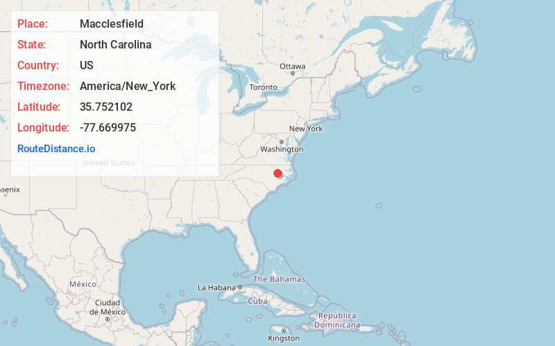
Full AddressMacclesfield, NC
-
Coordinates35.7521022, -77.6699752
-
LocationMacclesfield , North Carolina , US
-
TimezoneAmerica/New_York
-
Current Local Time7:18:15 PM America/New_YorkTuesday, June 17, 2025
-
Page Views0
About Macclesfield
Macclesfield is a town in Edgecombe County, North Carolina, United States. It is part of the Rocky Mount, North Carolina Metropolitan Statistical Area. The population was 471 at the 2010 census.
Nearby Places
Found 10 places within 50 miles

Pinetops
3.1 mi
5.0 km
Pinetops, NC 27864
Get directions

Saratoga
9.0 mi
14.5 km
Saratoga, NC
Get directions
Elm City
11.5 mi
18.5 km
Elm City, NC
Get directions

Farmville
11.8 mi
19.0 km
Farmville, NC 27828
Get directions

Sharpsburg
11.9 mi
19.2 km
Sharpsburg, NC
Get directions
Princeville
12.3 mi
19.8 km
Princeville, NC 27886
Get directions

Tarboro
12.5 mi
20.1 km
Tarboro, NC 27886
Get directions

Conetoe
12.8 mi
20.6 km
Conetoe, NC
Get directions

Stantonsburg
13.2 mi
21.2 km
Stantonsburg, NC 27883
Get directions

Wilson
13.6 mi
21.9 km
Wilson, NC
Get directions
Location Links
Local Weather
Weather Information
Coming soon!
Location Map
Static map view of Macclesfield, North Carolina
Browse Places by Distance
Places within specific distances from Macclesfield
Short Distances
Long Distances
Click any distance to see all places within that range from Macclesfield. Distances shown in miles (1 mile ≈ 1.61 kilometers).