Distance to Maces Spring, Virginia

Calculating Your Route
Just a moment while we process your request...
Location Information
-
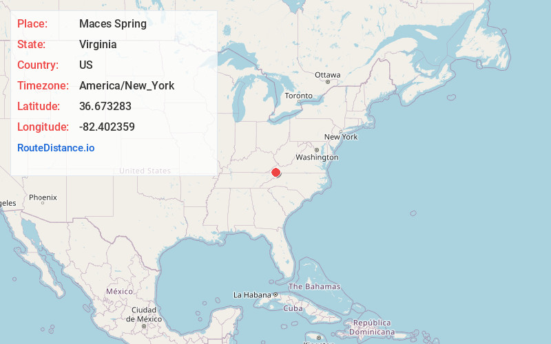
Full AddressMaces Spring, VA 24258
-
Coordinates36.673283, -82.402359
-
LocationMaces Spring , Virginia , US
-
TimezoneAmerica/New_York
-
Current Local Time1:54:19 PM America/New_YorkTuesday, July 1, 2025
-
Page Views0
About Maces Spring
Maces Spring is a small unincorporated community in Scott County, Virginia, United States, along State Route 614, in an area known as Poor Valley. The settlement consists of a small number of houses.
Nearby Places
Found 10 places within 50 miles

Fulkerson
1.9 mi
3.1 km
Fulkerson, VA 24258
Get directions
McConnell Mill
3.1 mi
5.0 km
McConnell Mill, VA 24271
Get directions
Silica
3.2 mi
5.1 km
Silica, VA 24258
Get directions

Hiltons
3.8 mi
6.1 km
Hiltons, VA
Get directions
Shelleys
4.3 mi
6.9 km
Shelleys, VA 24202
Get directions
Dorton Fort
4.6 mi
7.4 km
Dorton Fort, VA 24271
Get directions
Barker Mill
5.0 mi
8.0 km
Barker Mill, VA 24270
Get directions
Snowflake
5.0 mi
8.0 km
Snowflake, VA 24251
Get directions

Nickelsville
5.5 mi
8.9 km
Nickelsville, VA 24271
Get directions
Little Duck
5.7 mi
9.2 km
Little Duck, VA 24271
Get directions
Location Links
Local Weather
Weather Information
Coming soon!
Location Map
Static map view of Maces Spring, Virginia
Browse Places by Distance
Places within specific distances from Maces Spring
Short Distances
Long Distances
Click any distance to see all places within that range from Maces Spring. Distances shown in miles (1 mile ≈ 1.61 kilometers).