Distance to Machipongo, Virginia

Calculating Your Route
Just a moment while we process your request...
Location Information
-
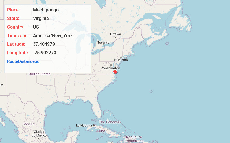
Full AddressMachipongo, VA
-
Coordinates37.404979, -75.9022727
-
LocationMachipongo , Virginia , US
-
TimezoneAmerica/New_York
-
Current Local Time5:19:10 AM America/New_YorkWednesday, June 18, 2025
-
Page Views0
About Machipongo
Machipongo is an unincorporated community in Northampton County, Virginia, United States.
The Almshouse Farm at Machipongo was listed on the National Register of Historic Places in 2002.

Nearby Places
Found 10 places within 50 miles

Birdsnest
2.6 mi
4.2 km
Birdsnest, VA 23307
Get directions

Kendall Grove
2.8 mi
4.5 km
Kendall Grove, VA 23310
Get directions
Bridgetown
3.1 mi
5.0 km
Bridgetown, VA 23405
Get directions
Little Johnsontown
3.2 mi
5.1 km
Little Johnsontown, VA 23307
Get directions
James Crossroads
3.5 mi
5.6 km
James Crossroads, Eastville, VA 23310
Get directions
Weirwood
4.0 mi
6.4 km
Weirwood, VA 23307
Get directions
Marionville
4.2 mi
6.8 km
Marionville, VA 23408
Get directions

Eastville
4.3 mi
6.9 km
Eastville, VA 23310
Get directions
Franktown
5.3 mi
8.5 km
Franktown, VA
Get directions
Nassawadox
5.4 mi
8.7 km
Nassawadox, VA
Get directions
Location Links
Local Weather
Weather Information
Coming soon!
Location Map
Static map view of Machipongo, Virginia
Browse Places by Distance
Places within specific distances from Machipongo
Short Distances
Long Distances
Click any distance to see all places within that range from Machipongo. Distances shown in miles (1 mile ≈ 1.61 kilometers).