Distance to Macksville, Kansas

Calculating Your Route
Just a moment while we process your request...
Location Information
-
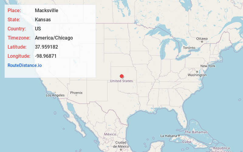
Full AddressMacksville, KS 67557
-
Coordinates37.959182, -98.9687098
-
LocationMacksville , Kansas , US
-
TimezoneAmerica/Chicago
-
Current Local Time2:51:40 PM America/ChicagoSaturday, June 28, 2025
-
Page Views0
About Macksville
Macksville is a city in Stafford County, Kansas, United States. As of the 2020 census, the population of the city was 471. It is located along Highway 50.

Nearby Places
Found 10 places within 50 miles

St John
11.7 mi
18.8 km
St John, KS 67576
Get directions

Larned
16.9 mi
27.2 km
Larned, KS 67550
Get directions

Stafford
20.1 mi
32.3 km
Stafford, KS 67578
Get directions

Kinsley
24.2 mi
38.9 km
Kinsley, KS 67547
Get directions

Haviland
24.7 mi
39.8 km
Haviland, KS 67059
Get directions

Pratt
25.2 mi
40.6 km
Pratt, KS
Get directions

Great Bend
30.1 mi
48.4 km
Great Bend, KS 67530
Get directions

Greensburg
30.3 mi
48.8 km
Greensburg, KS 67054
Get directions

Ellinwood
34.6 mi
55.7 km
Ellinwood, KS
Get directions

Hoisington
40.0 mi
64.4 km
Hoisington, KS 67544
Get directions
Location Links
Local Weather
Weather Information
Coming soon!
Location Map
Static map view of Macksville, Kansas
Browse Places by Distance
Places within specific distances from Macksville
Short Distances
Long Distances
Click any distance to see all places within that range from Macksville. Distances shown in miles (1 mile ≈ 1.61 kilometers).