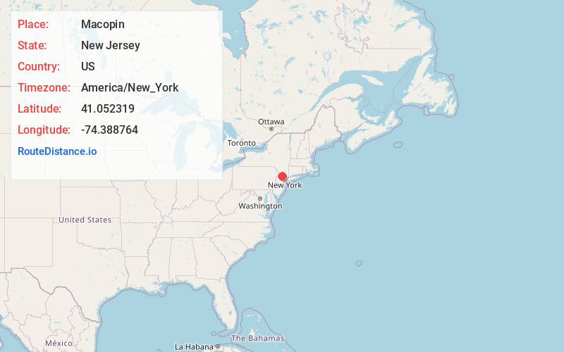
Distance to and from Macopin, New Jersey
Macopin, West Milford, NJ 07480
West Milford
New Jersey
US
America/New_York
Location Information
-
Full AddressMacopin, West Milford, NJ 07480
-
Coordinates41.0523192, -74.3887639
-
NeighborhoodMacopin
-
LocationWest Milford , New Jersey , US
-
TimezoneAmerica/New_York
-
Current Local Time11:03:43 AM America/New_YorkSaturday, May 3, 2025
-
Page Views0
Directions to Nearest Cities
About Macopin
Macopin is an unincorporated community and census-designated place located within West Milford in Passaic County, in the U.S. state of New Jersey. The area is served as United States Postal Service ZIP Code 07480.
Nearby Places
Found 10 places within 50 miles

Kinnelon
3.6 mi
5.8 km
Kinnelon, NJ 07405
Get directions

Butler
4.3 mi
6.9 km
Butler, NJ 07405
Get directions

Bloomingdale
4.7 mi
7.6 km
Bloomingdale, NJ
Get directions

Wanaque
5.0 mi
8.0 km
Wanaque, NJ
Get directions

West Milford
5.5 mi
8.9 km
West Milford, NJ
Get directions

Jefferson
6.2 mi
10.0 km
Jefferson, NJ
Get directions

Pompton Lakes
6.3 mi
10.1 km
Pompton Lakes, NJ
Get directions

Riverdale
6.4 mi
10.3 km
Riverdale, NJ 07457
Get directions

Ringwood
7.1 mi
11.4 km
Ringwood, NJ
Get directions

Pequannock Township
7.9 mi
12.7 km
Pequannock Township, NJ
Get directions
Kinnelon
3.6 mi
5.8 km
Kinnelon, NJ 07405
Butler
4.3 mi
6.9 km
Butler, NJ 07405
Bloomingdale
4.7 mi
7.6 km
Bloomingdale, NJ
Wanaque
5.0 mi
8.0 km
Wanaque, NJ
West Milford
5.5 mi
8.9 km
West Milford, NJ
Jefferson
6.2 mi
10.0 km
Jefferson, NJ
Pompton Lakes
6.3 mi
10.1 km
Pompton Lakes, NJ
Riverdale
6.4 mi
10.3 km
Riverdale, NJ 07457
Ringwood
7.1 mi
11.4 km
Ringwood, NJ
Pequannock Township
7.9 mi
12.7 km
Pequannock Township, NJ
Location Links
Local Weather
Weather Information
Coming soon!
Location Map
Static map view of Macopin, New Jersey
Browse Places by Distance
Places within specific distances from Macopin
Short Distances
Long Distances
Click any distance to see all places within that range from Macopin. Distances shown in miles (1 mile ≈ 1.61 kilometers).