Distance to Magnolia, Kentucky

Calculating Your Route
Just a moment while we process your request...
Location Information
-
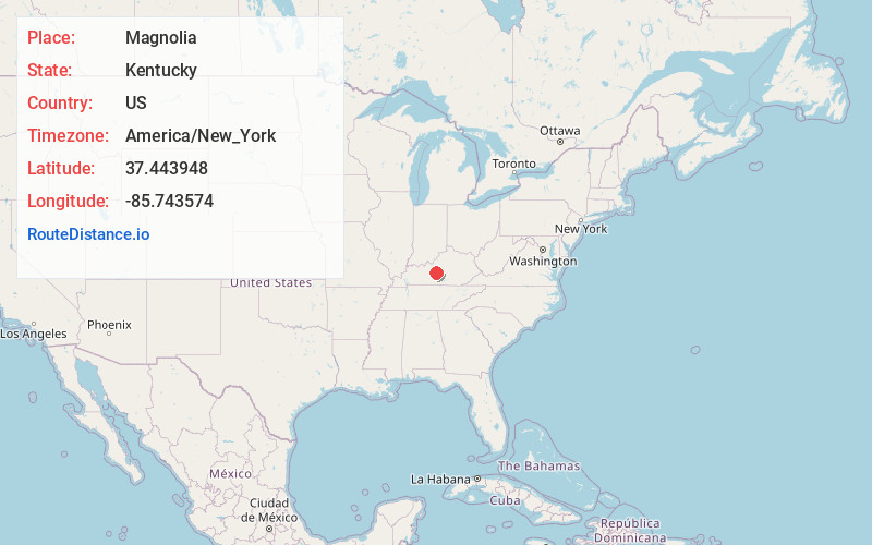
Full AddressMagnolia, KY 42757
-
Coordinates37.4439477, -85.7435739
-
LocationMagnolia , Kentucky , US
-
TimezoneAmerica/New_York
-
Current Local Time4:28:25 PM America/New_YorkWednesday, June 25, 2025
-
Page Views0
About Magnolia
Magnolia is a census-designated place and unincorporated community in LaRue County, Kentucky, United States. Its population was 524 as of the 2010 census.
The Magnolia area was settled in the 1780s primarily by Virginians seeking land following the American Revolution.


Nearby Places
Found 10 places within 50 miles

Hodgenville
9.0 mi
14.5 km
Hodgenville, KY 42748
Get directions

Munfordville
14.4 mi
23.2 km
Munfordville, KY 42765
Get directions

New Haven
17.0 mi
27.4 km
New Haven, KY 40051
Get directions

Greensburg
18.5 mi
29.8 km
Greensburg, KY 42743
Get directions

Elizabethtown
19.3 mi
31.1 km
Elizabethtown, KY
Get directions

Horse Cave
20.4 mi
32.8 km
Horse Cave, KY 42749
Get directions

Campbellsville
23.1 mi
37.2 km
Campbellsville, KY 42718
Get directions

Cave City
24.3 mi
39.1 km
Cave City, KY 42127
Get directions

Rineyville
24.5 mi
39.4 km
Rineyville, KY
Get directions

Clarkson
26.5 mi
42.6 km
Clarkson, KY
Get directions
Location Links
Local Weather
Weather Information
Coming soon!
Location Map
Static map view of Magnolia, Kentucky
Browse Places by Distance
Places within specific distances from Magnolia
Short Distances
Long Distances
Click any distance to see all places within that range from Magnolia. Distances shown in miles (1 mile ≈ 1.61 kilometers).