Distance to Magnolia, Minnesota

Calculating Your Route
Just a moment while we process your request...
Location Information
-
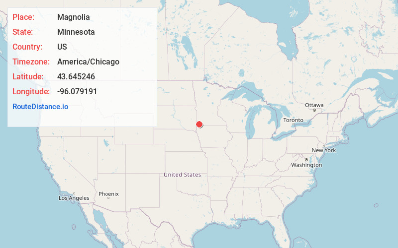
Full AddressMagnolia, MN
-
Coordinates43.6452456, -96.0791907
-
LocationMagnolia , Minnesota , US
-
TimezoneAmerica/Chicago
-
Current Local Time3:41:08 PM America/ChicagoSaturday, June 7, 2025
-
Page Views0
About Magnolia
Magnolia is a town in Rock County, Minnesota, United States. The population was 222 at the 2010 census. According to the United States Census Bureau, the city has a total area of 0.78 square miles, all land.
Nearby Places
Found 10 places within 50 miles

Luverne
6.2 mi
10.0 km
Luverne, MN 56156
Get directions

Adrian
7.4 mi
11.9 km
Adrian, MN 56110
Get directions

Ellsworth
9.3 mi
15.0 km
Ellsworth, MN 56129
Get directions

Lismore
9.7 mi
15.6 km
Lismore, MN 56155
Get directions

Rushmore
14.0 mi
22.5 km
Rushmore, MN 56168
Get directions

Beaver Creek
14.4 mi
23.2 km
Beaver Creek, MN 56116
Get directions
Wilmont
15.1 mi
24.3 km
Wilmont, MN 56185
Get directions

Rock Rapids
15.8 mi
25.4 km
Rock Rapids, IA 51246
Get directions

Edgerton
15.9 mi
25.6 km
Edgerton, MN 56128
Get directions

Hills
16.4 mi
26.4 km
Hills, MN 56138
Get directions
Location Links
Local Weather
Weather Information
Coming soon!
Location Map
Static map view of Magnolia, Minnesota
Browse Places by Distance
Places within specific distances from Magnolia
Short Distances
Long Distances
Click any distance to see all places within that range from Magnolia. Distances shown in miles (1 mile ≈ 1.61 kilometers).