Distance to Mahoningtown, Pennsylvania

Calculating Your Route
Just a moment while we process your request...
Location Information
-
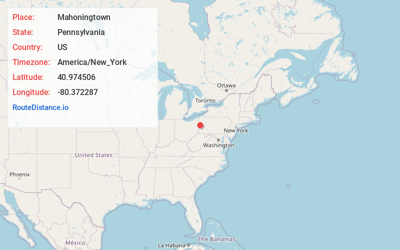
Full AddressMahoningtown, New Castle, PA 16102
-
Coordinates40.9745055, -80.3722874
-
LocationNew Castle , Pennsylvania , US
-
TimezoneAmerica/New_York
-
Current Local Time4:33:46 PM America/New_YorkThursday, June 5, 2025
-
Page Views0
About Mahoningtown
Mahoningtown, also known as "Motown", is a neighborhood in the southwestern part of the city of New Castle, Pennsylvania, United States. Though it is named for the nearby Mahoning River, the city actually sits on the banks of the Shenango River. The two rivers merge and become the Beaver River just south of the city.
Nearby Places
Found 10 places within 50 miles

Belmar Park
2.2 mi
3.5 km
Belmar Park, Oakwood, PA 16101
Get directions

New Castle
2.4 mi
3.9 km
New Castle, PA
Get directions
Oakwood
2.5 mi
4.0 km
Oakwood, PA
Get directions
Coverts
2.7 mi
4.3 km
Coverts, North Beaver Township, PA 16102
Get directions
East New Castle
2.9 mi
4.7 km
East New Castle, Shenango Township, PA 16101
Get directions

West Pittsburg
2.9 mi
4.7 km
West Pittsburg, PA
Get directions
Union Valley
3.1 mi
5.0 km
Union Valley, Shenango Township, PA 16157
Get directions
Jackson Knolls Gardens
3.2 mi
5.1 km
Jackson Knolls Gardens, Mount Jackson, PA 16102
Get directions
East Moravia
3.2 mi
5.1 km
East Moravia, West Pittsburg, PA 16157
Get directions
Parkstown
3.4 mi
5.5 km
Parkstown, Union Township, PA 16101
Get directions
Location Links
Local Weather
Weather Information
Coming soon!
Location Map
Static map view of Mahoningtown, Pennsylvania
Browse Places by Distance
Places within specific distances from Mahoningtown
Short Distances
Long Distances
Click any distance to see all places within that range from Mahoningtown. Distances shown in miles (1 mile ≈ 1.61 kilometers).