Distance to Maitland, South Dakota

Calculating Your Route
Just a moment while we process your request...
Location Information
-
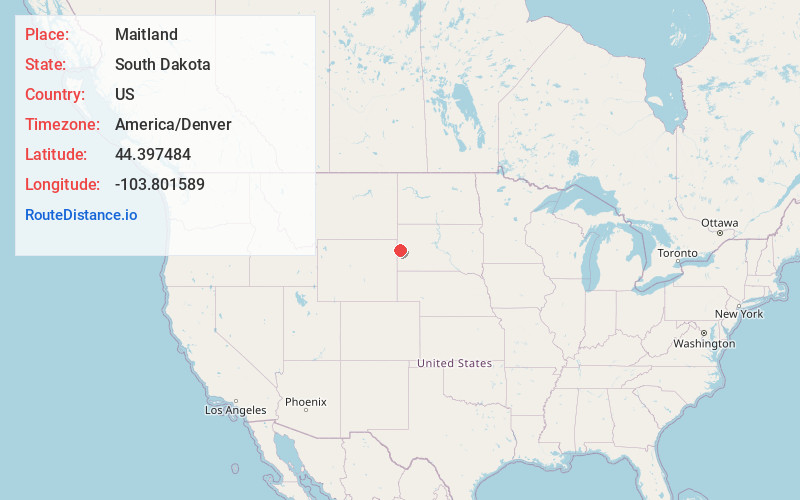
Full AddressMaitland, SD 57754
-
Coordinates44.3974841, -103.8015891
-
LocationMaitland , South Dakota , US
-
TimezoneAmerica/Denver
-
Current Local Time2:43:32 AM America/DenverThursday, June 19, 2025
-
Page Views0
About Maitland
Maitland, originally called Garden City and sometimes misspelled Midland, is a ghost town in Lawrence County, South Dakota, United States. It was a mining community that boomed during the Black Hills Gold Rush, but was abandoned by about 1915.
Nearby Places
Found 10 places within 50 miles

Central City
2.6 mi
4.2 km
Central City, SD 57754
Get directions
Blacktail
2.8 mi
4.5 km
Blacktail, SD 57754
Get directions
Terraville
3.0 mi
4.8 km
Terraville, SD 57754
Get directions

Lead
3.6 mi
5.8 km
Lead, SD
Get directions
Kirk
3.8 mi
6.1 km
Kirk, SD 57754
Get directions

Deadwood
3.8 mi
6.1 km
Deadwood, SD
Get directions
Trojan
4.2 mi
6.8 km
Trojan, SD 57754
Get directions
Terry
4.5 mi
7.2 km
Terry, SD 57754
Get directions
Maurice
4.7 mi
7.6 km
Maurice, SD 57783
Get directions
Victoria
5.2 mi
8.4 km
Victoria, SD 57754
Get directions
Location Links
Local Weather
Weather Information
Coming soon!
Location Map
Static map view of Maitland, South Dakota
Browse Places by Distance
Places within specific distances from Maitland
Short Distances
Long Distances
Click any distance to see all places within that range from Maitland. Distances shown in miles (1 mile ≈ 1.61 kilometers).